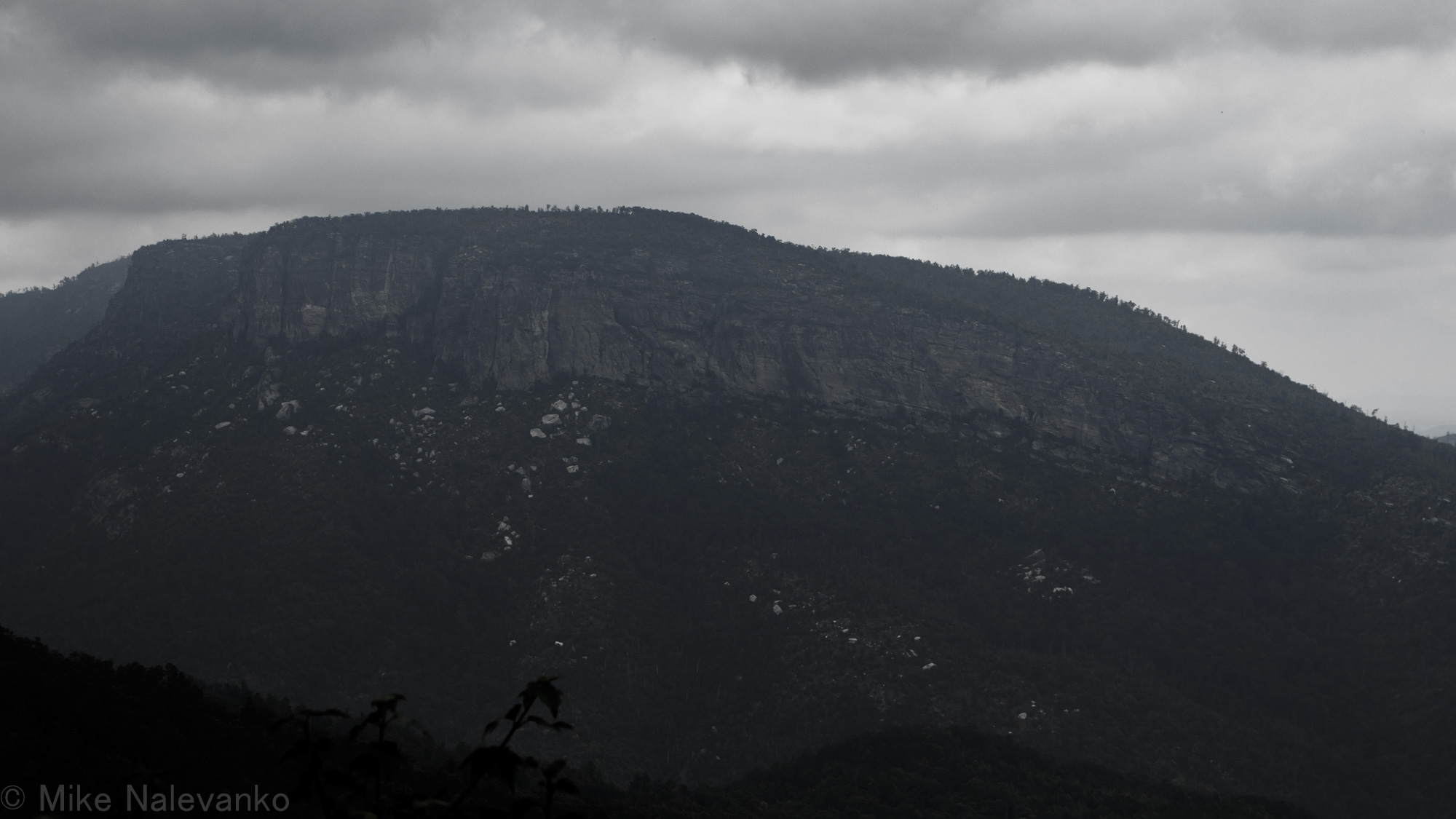
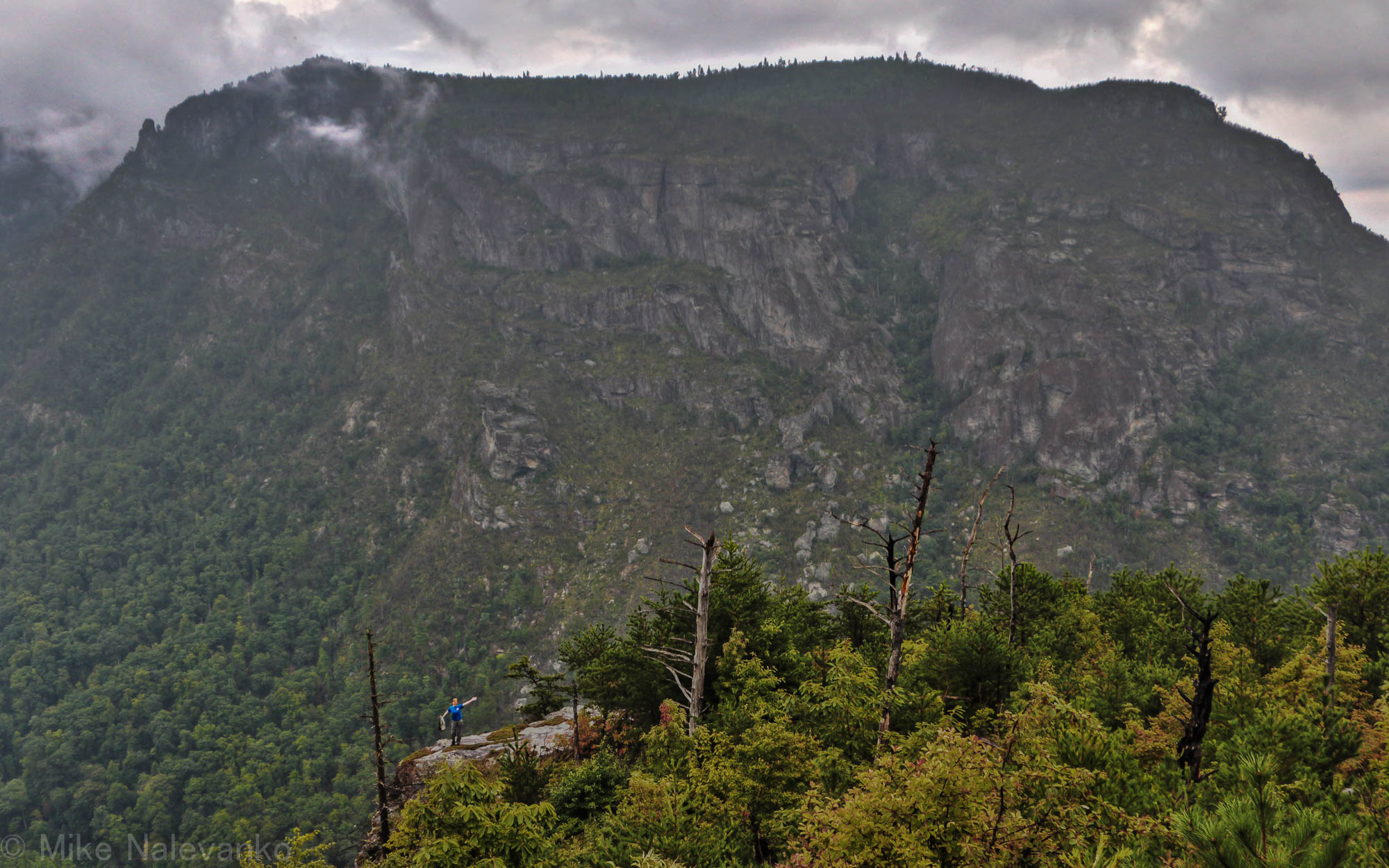
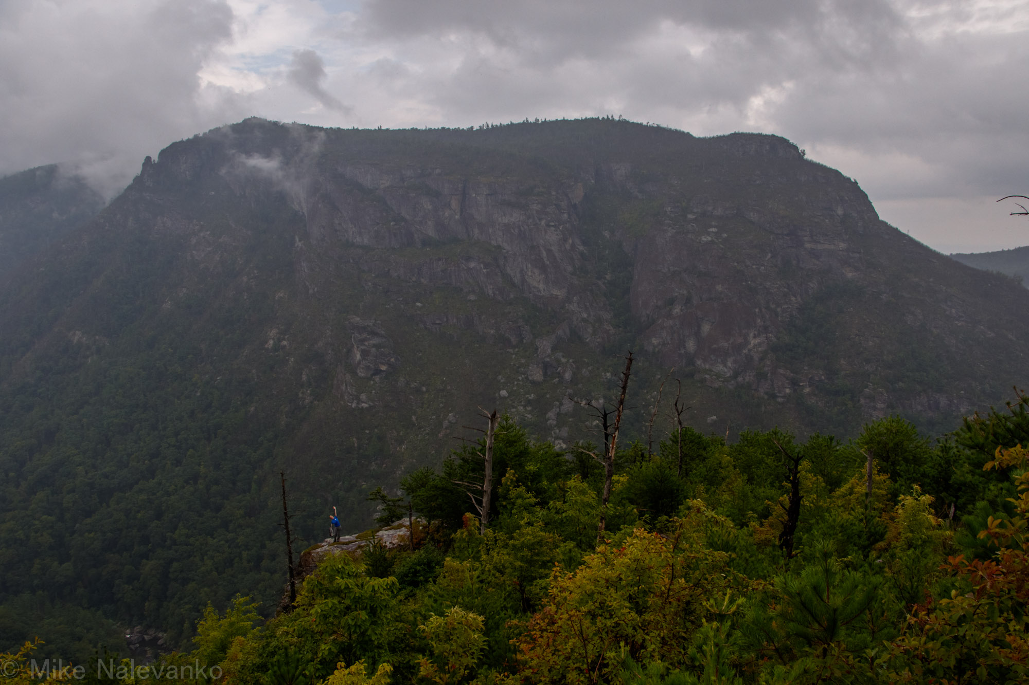
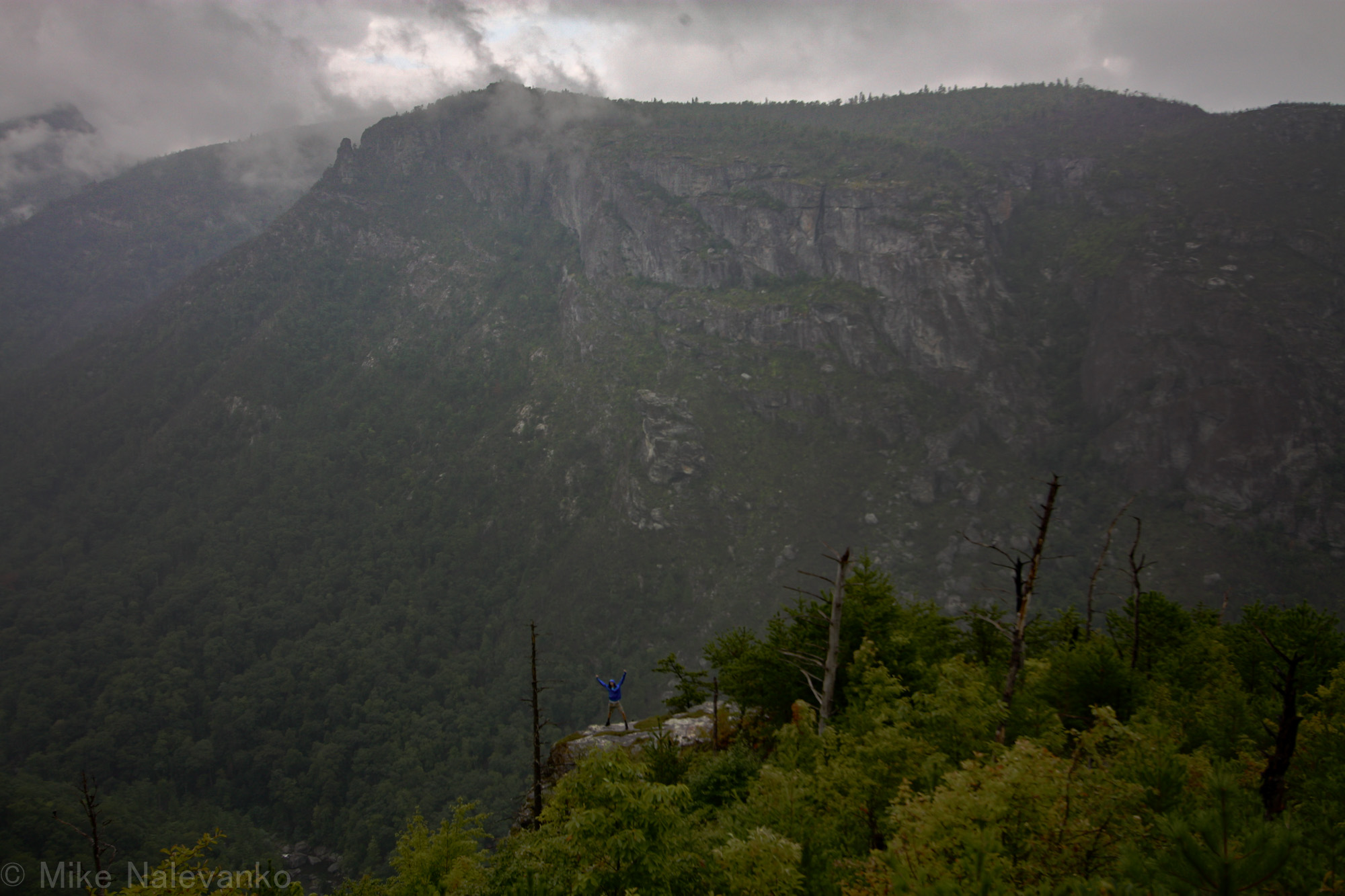
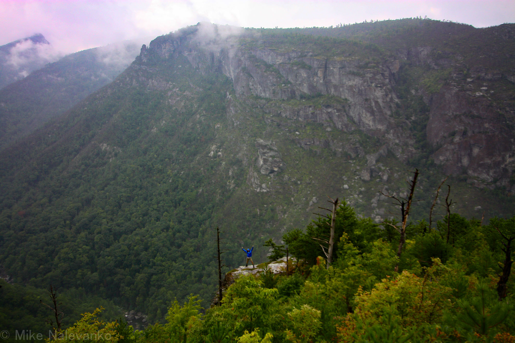
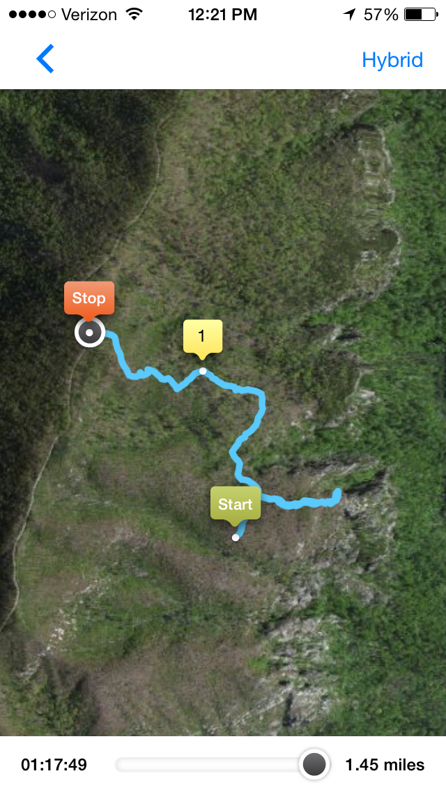
I was in need of an exploration weekend. So Alexis and I took off for Linville in search of a rarely trekked trail on the western side of the Linville Gorge. The weather outlook that weekend was bleak and most people regulated themselves to stay indoors, but not us. We had our trusty rain-shells and were not afraid to get lost or wet in the wilderness. The goal for the trip was to locate “Sunshine Point” on a not so sunshiny day.
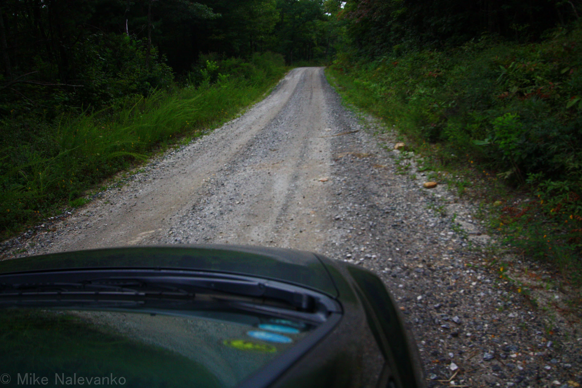
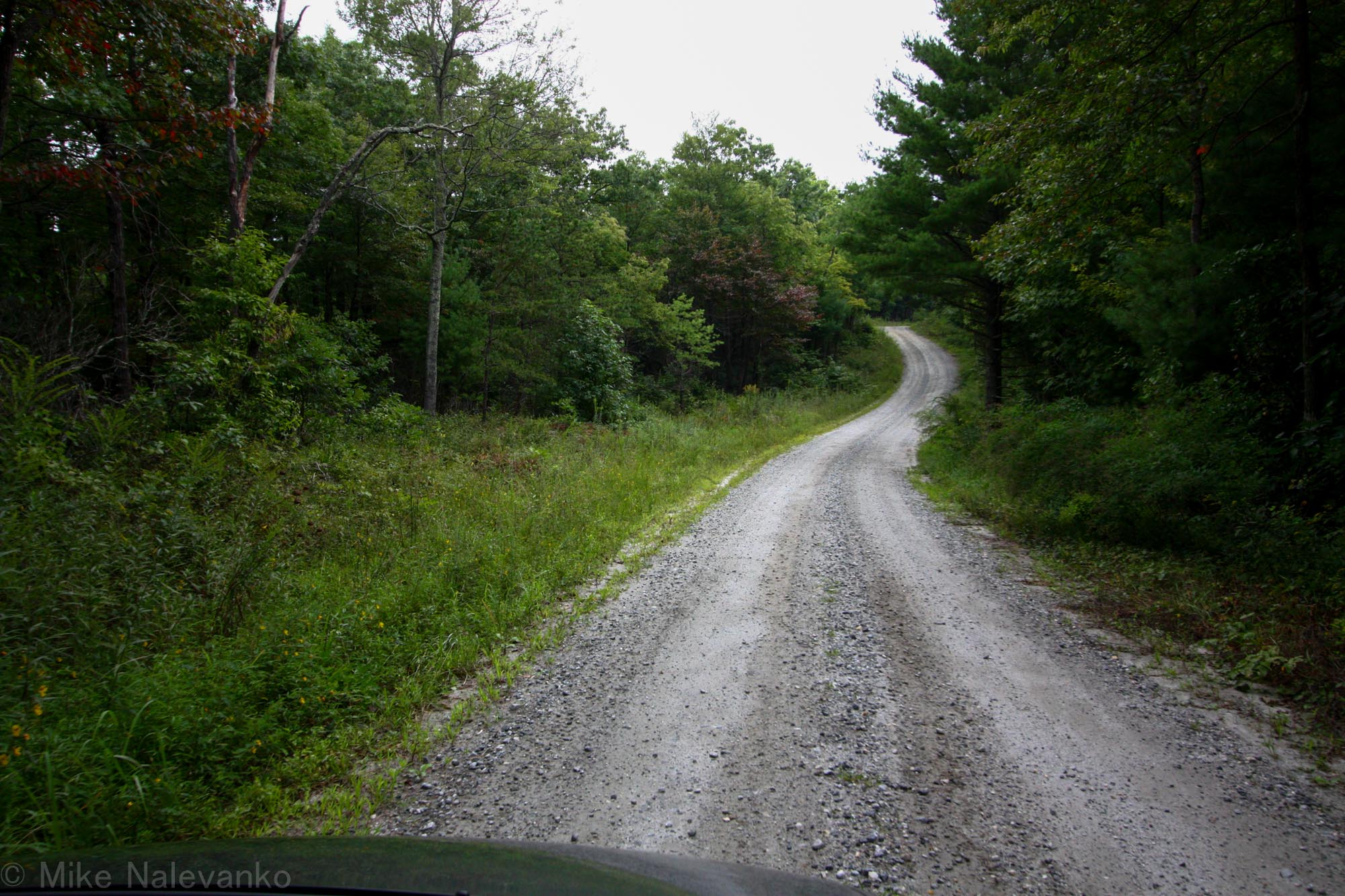
We headed up into the gorge on the old Kisler Highway (105) with a brief stop at Lake James Beach. I was armed with some sparse trail information which I had scrounged together from random googling and a garage sale hiking book.
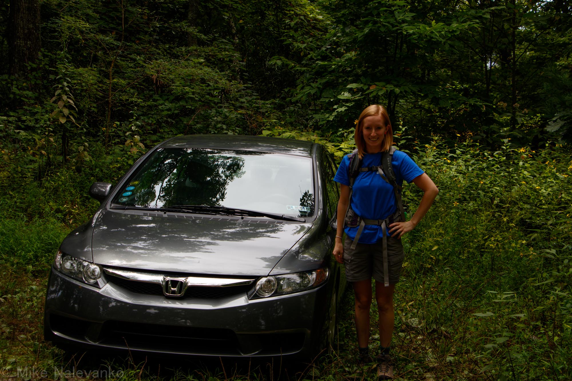
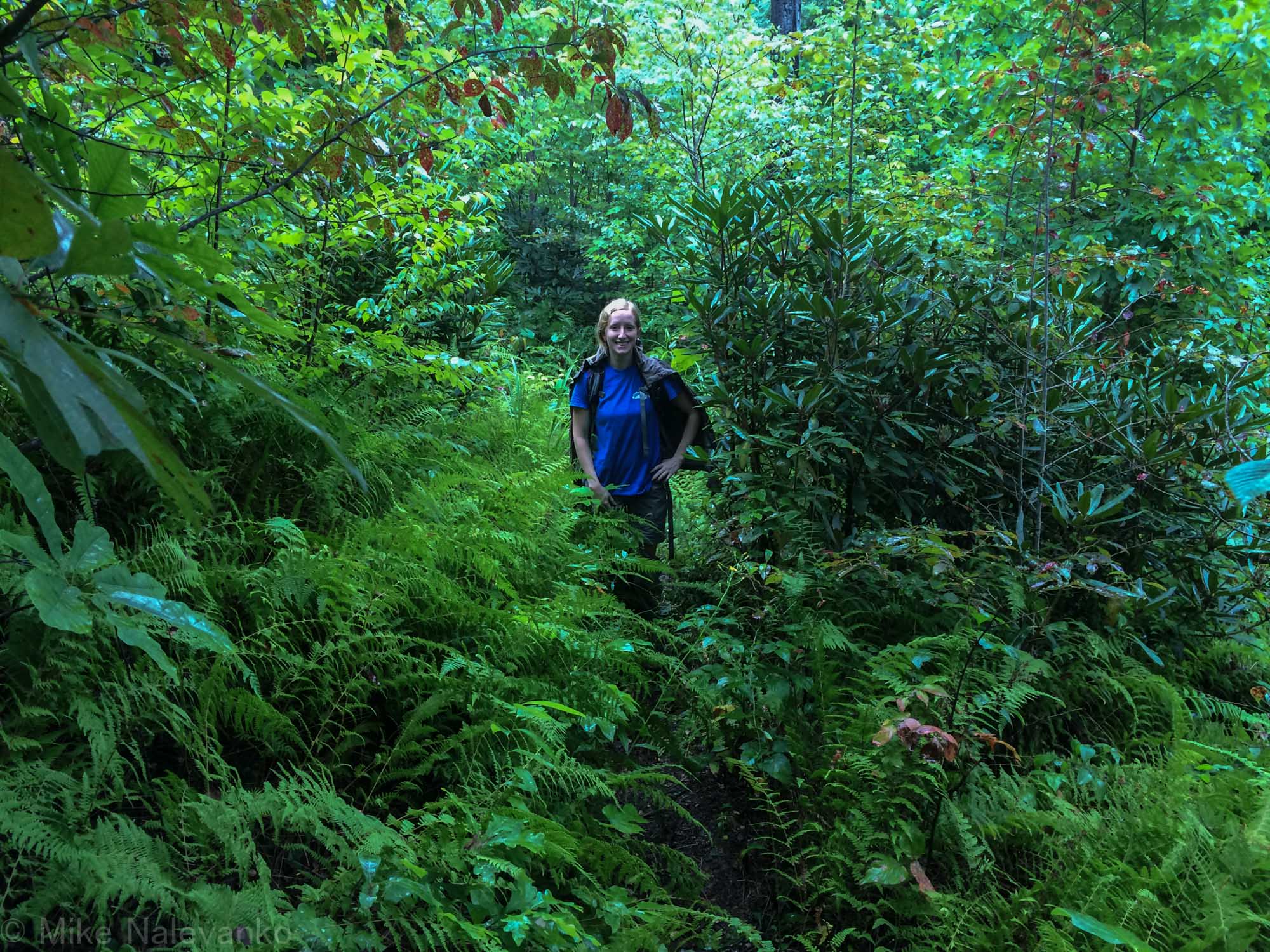
After passing the two main trailhead parking lots, we found the pull off for the little known drainage ditch approach. We tucked the car in some high weeds on the pull-off, put on hiking shoes, and locked everything of value in the trunk (last time we were here, we heard of break-ins along this stretch). The “trail” was really overgrown from the summer season, although every now and then I could see broken branches from other parties.
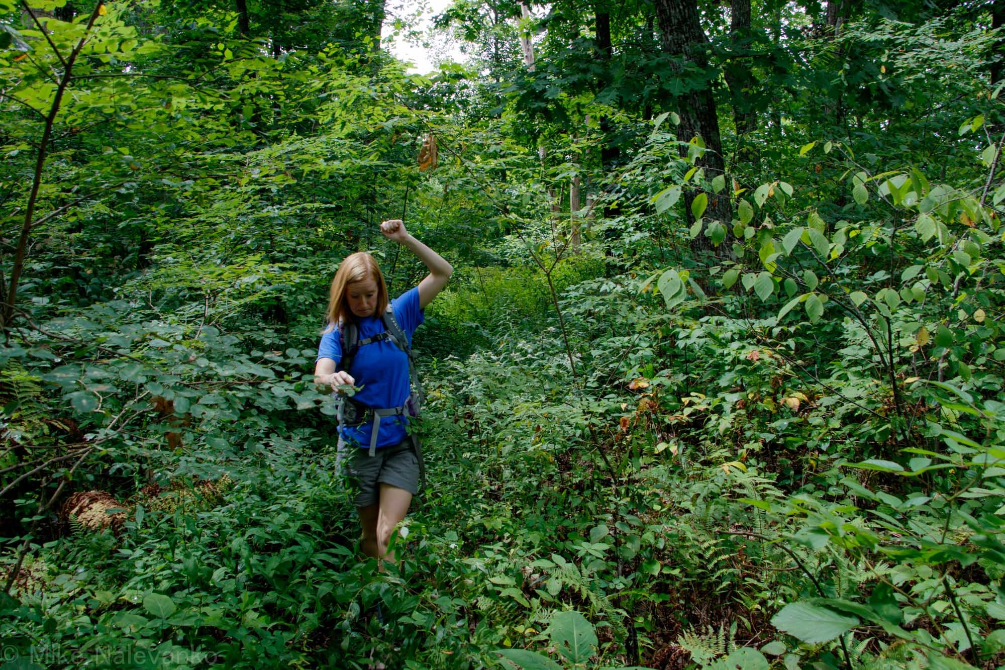
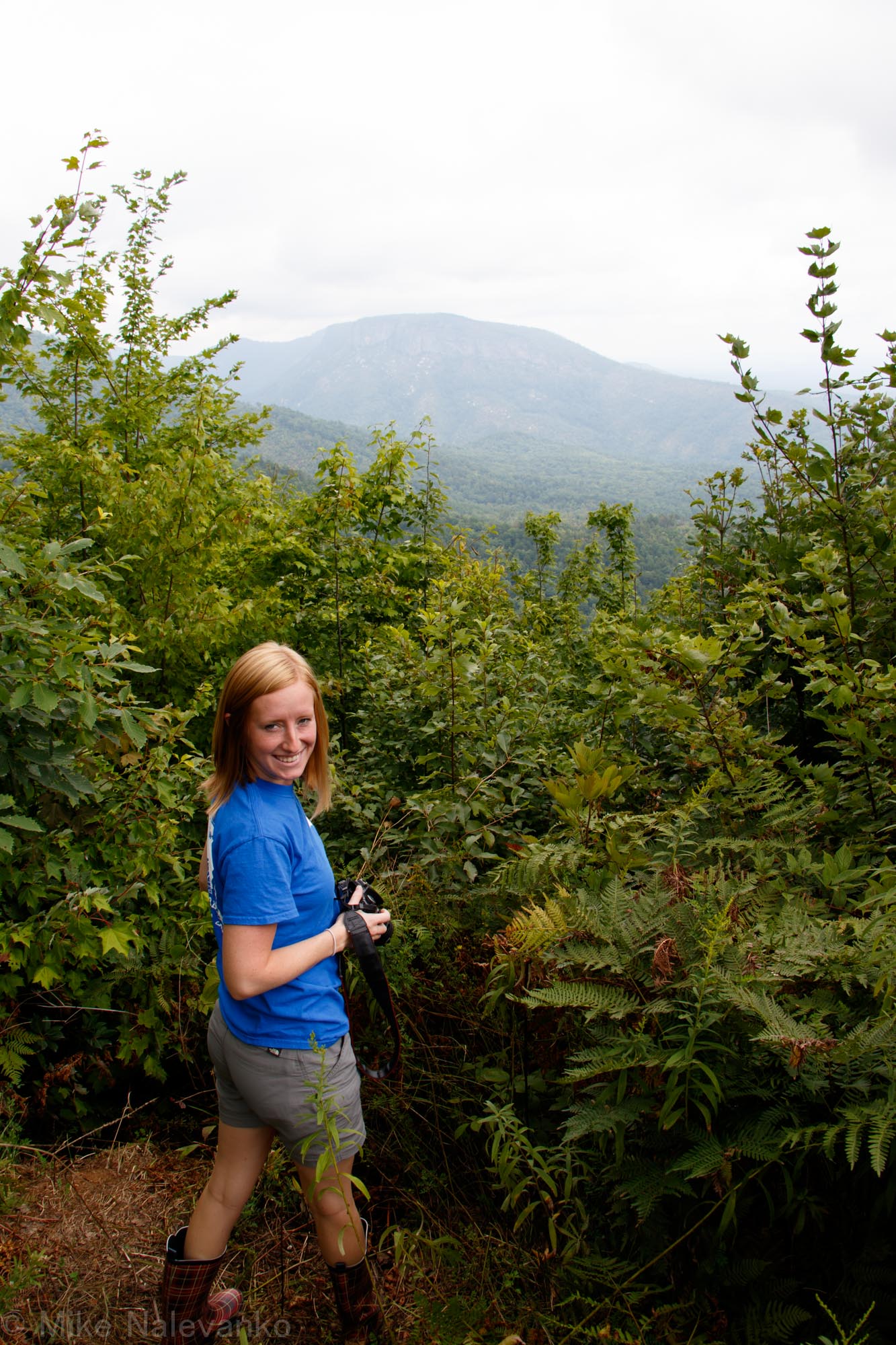
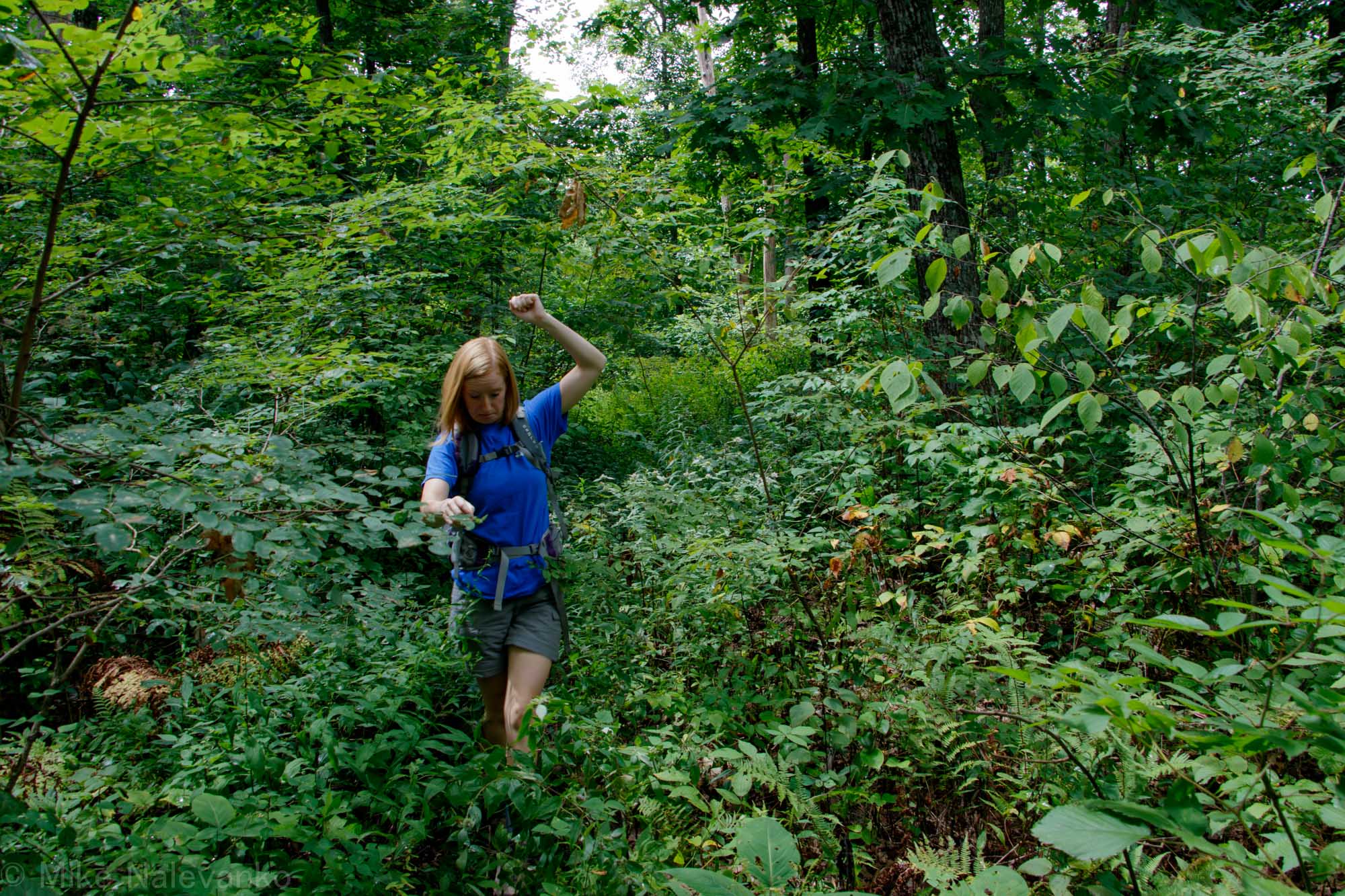
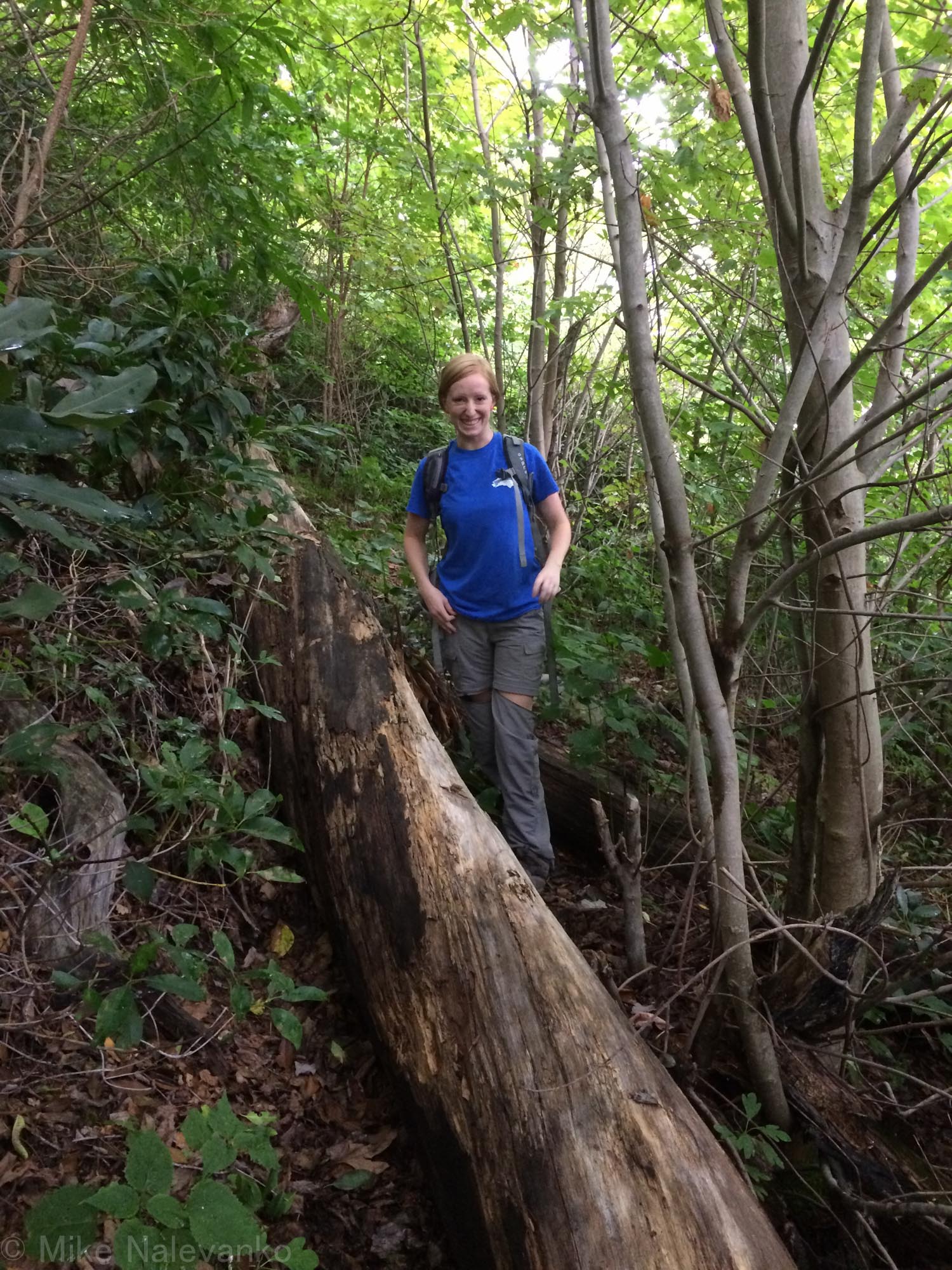
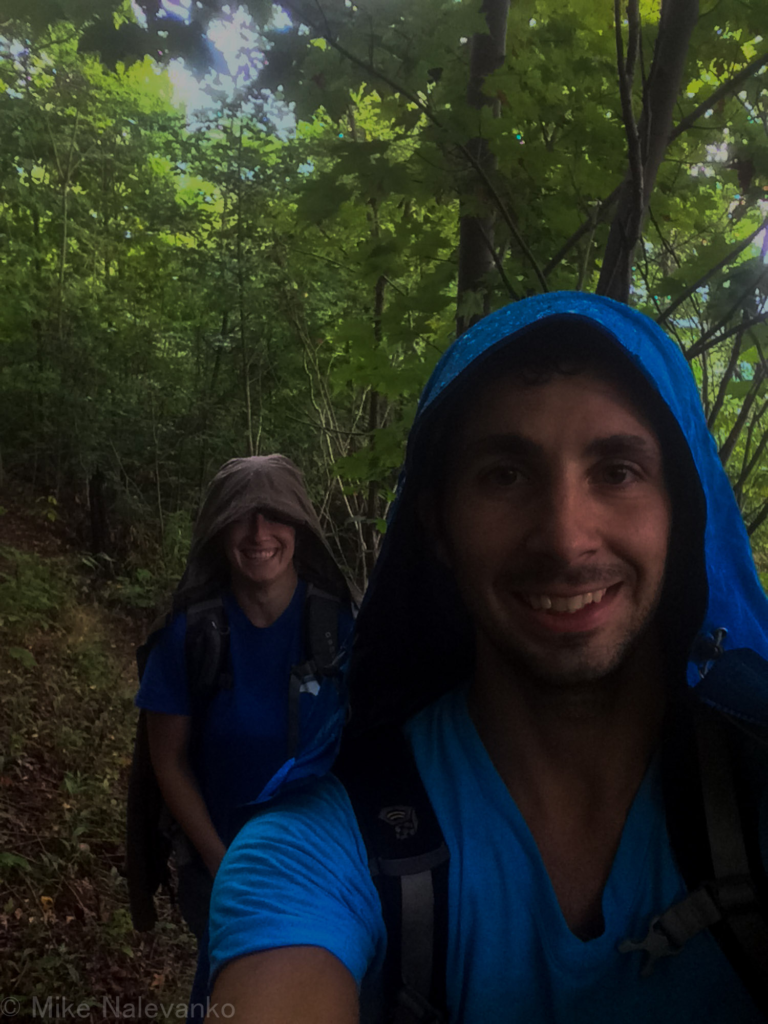
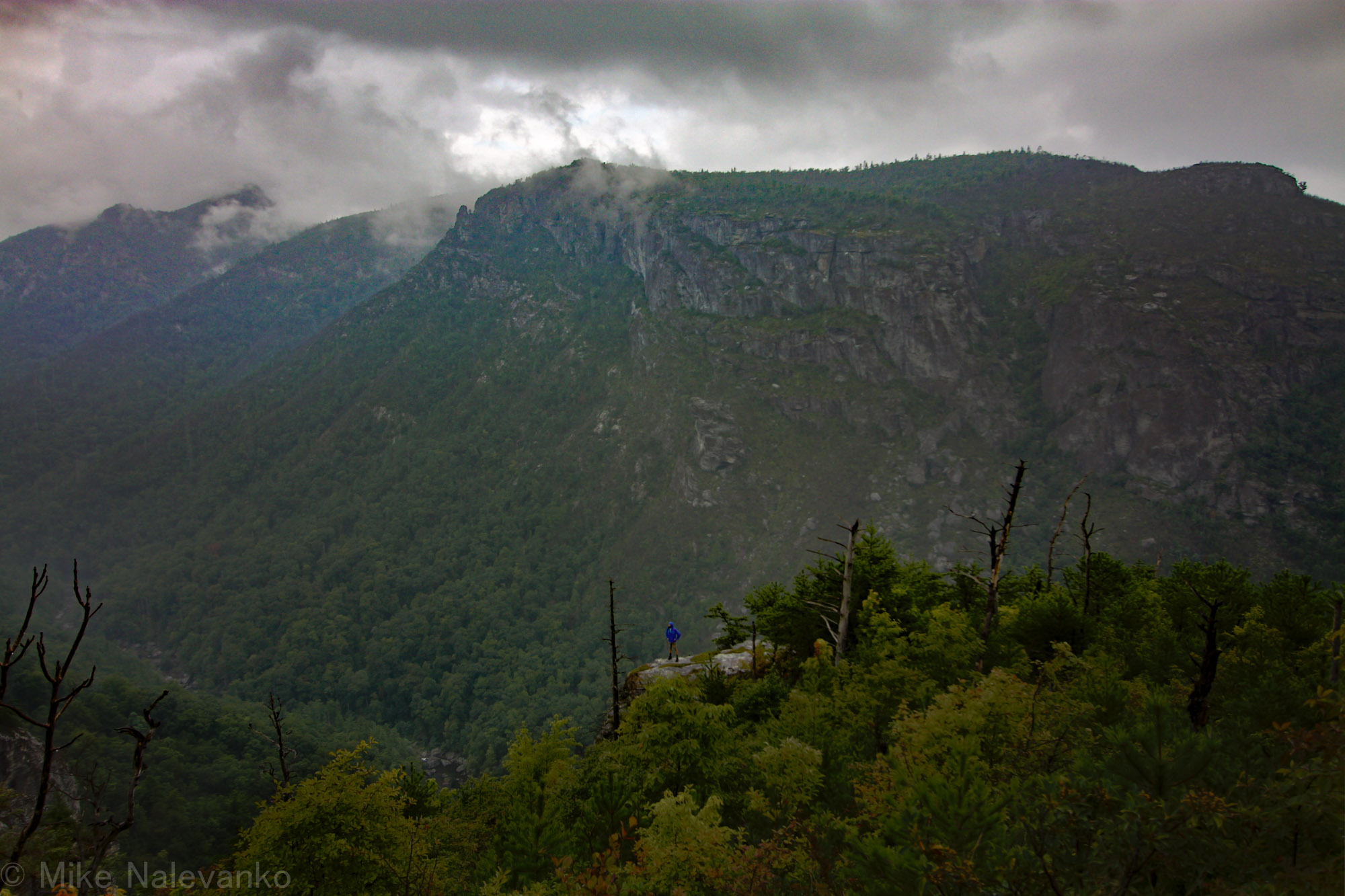
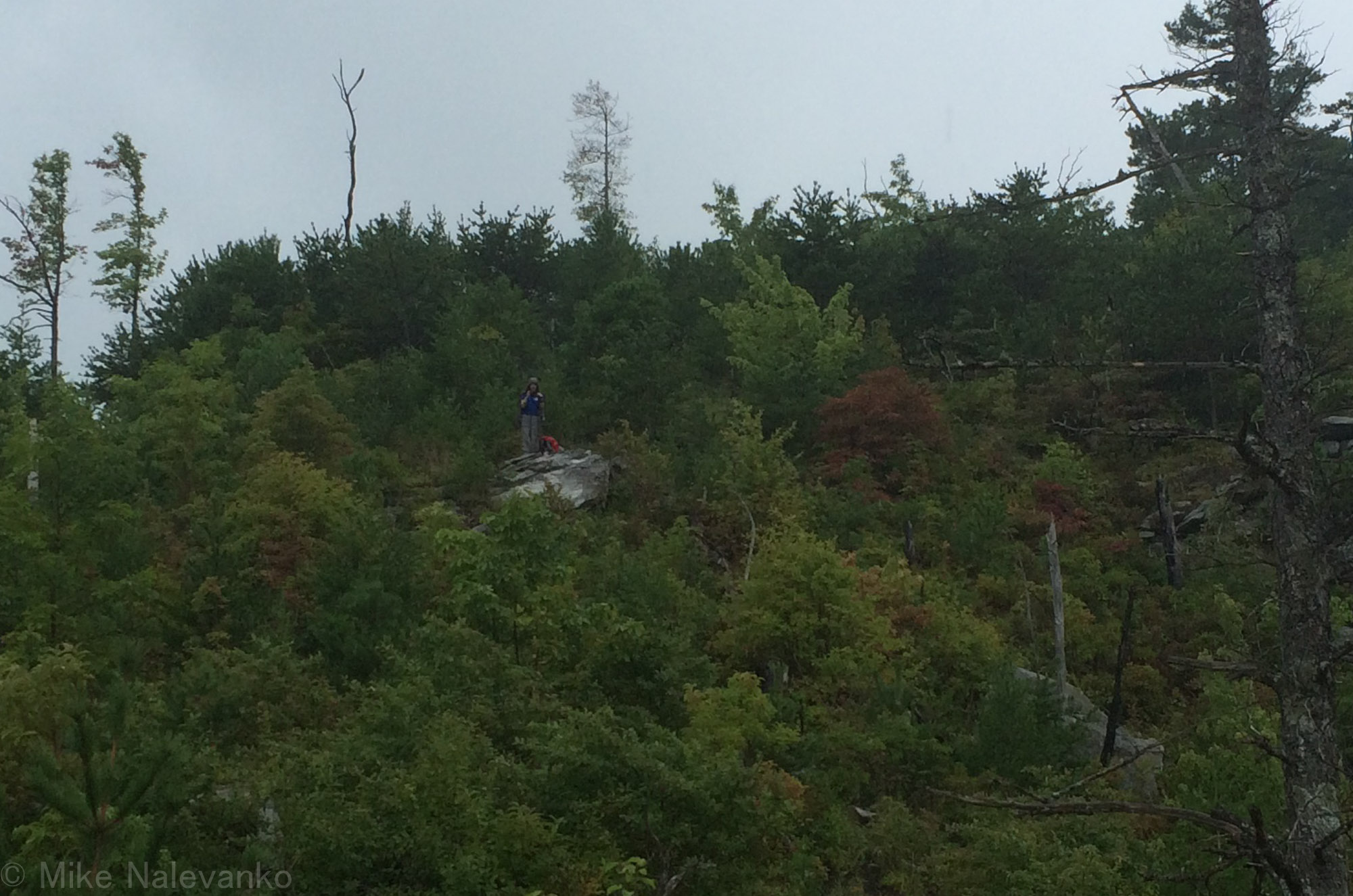
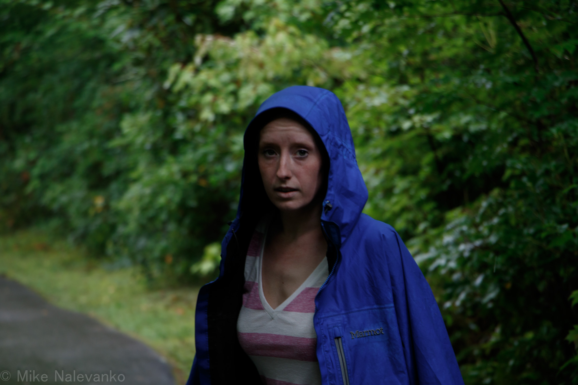
Alexis was able to adapt to the approach fairly quickly with her nimble movements through the brush (see picture). At some point during the hike down, it started to rain. So we draped the shells over our packs and continued to push on. This caused the humidity to become really thick in our own micro climate, which resulted in us pouring out sweat.
Eventually the “barely there trail” met the real “Rock Jock” trail. This trail was much more defined, but not overly manicured. We hiked southward on the trail for a while, stopping every so often to try and take in views through thick brush. At some point I had a gut feeling that we missed the area where “Sunshine Point” should have been. Hiking backwards, we noticed a faint sandy washout/trail leading downhill. I set the clock and gave ourselves 30 mins to explore before we needed to head back. Luckily this very overgrown off-shoot was the correct path.
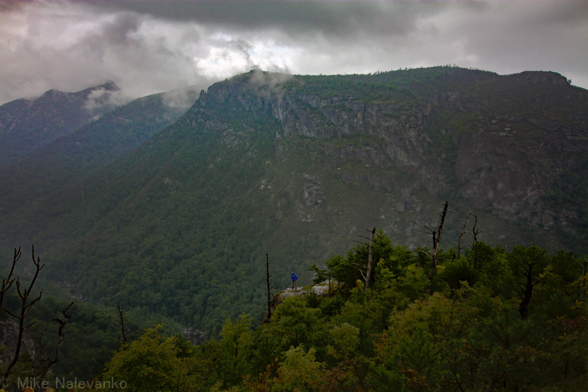
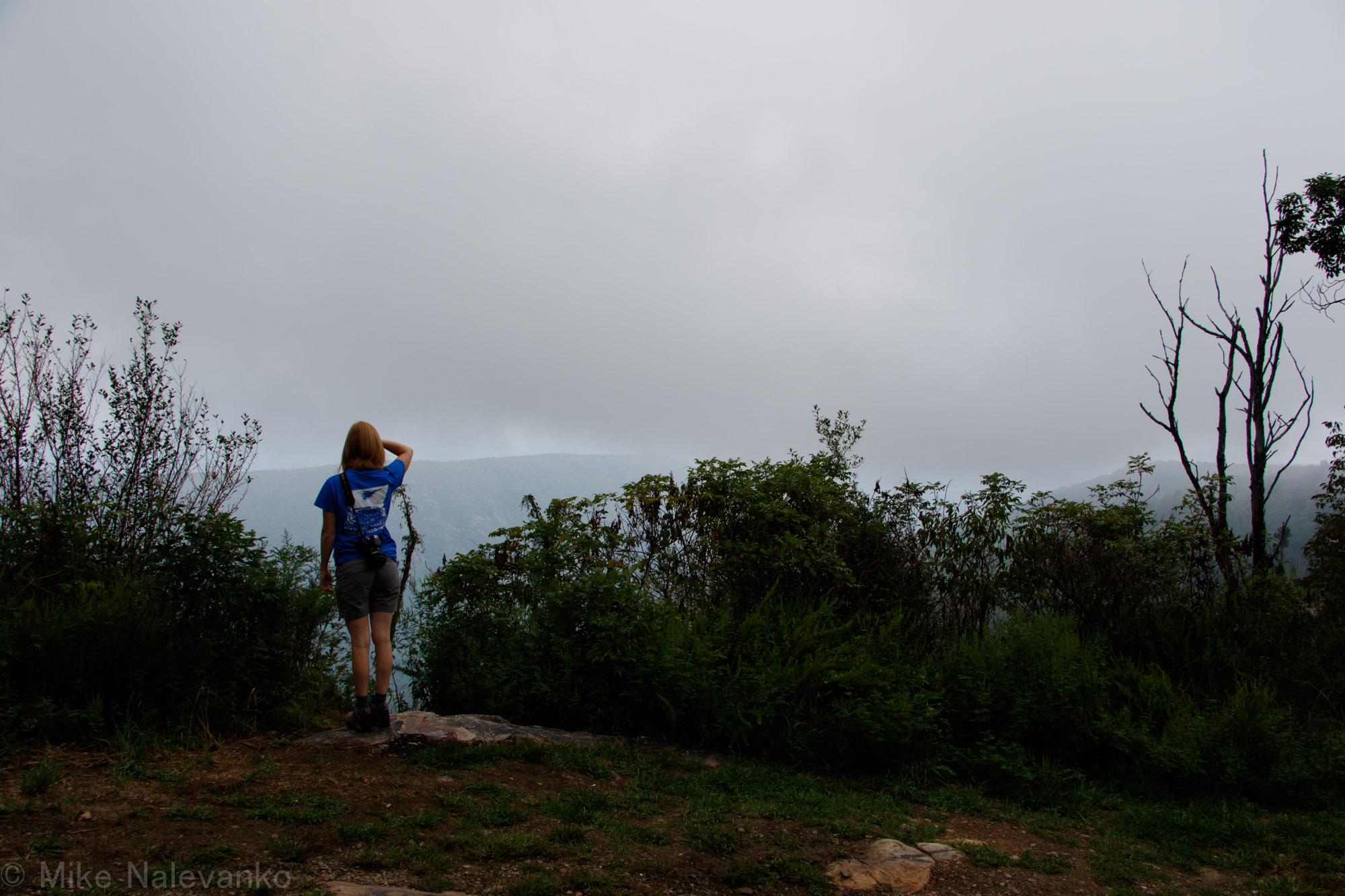
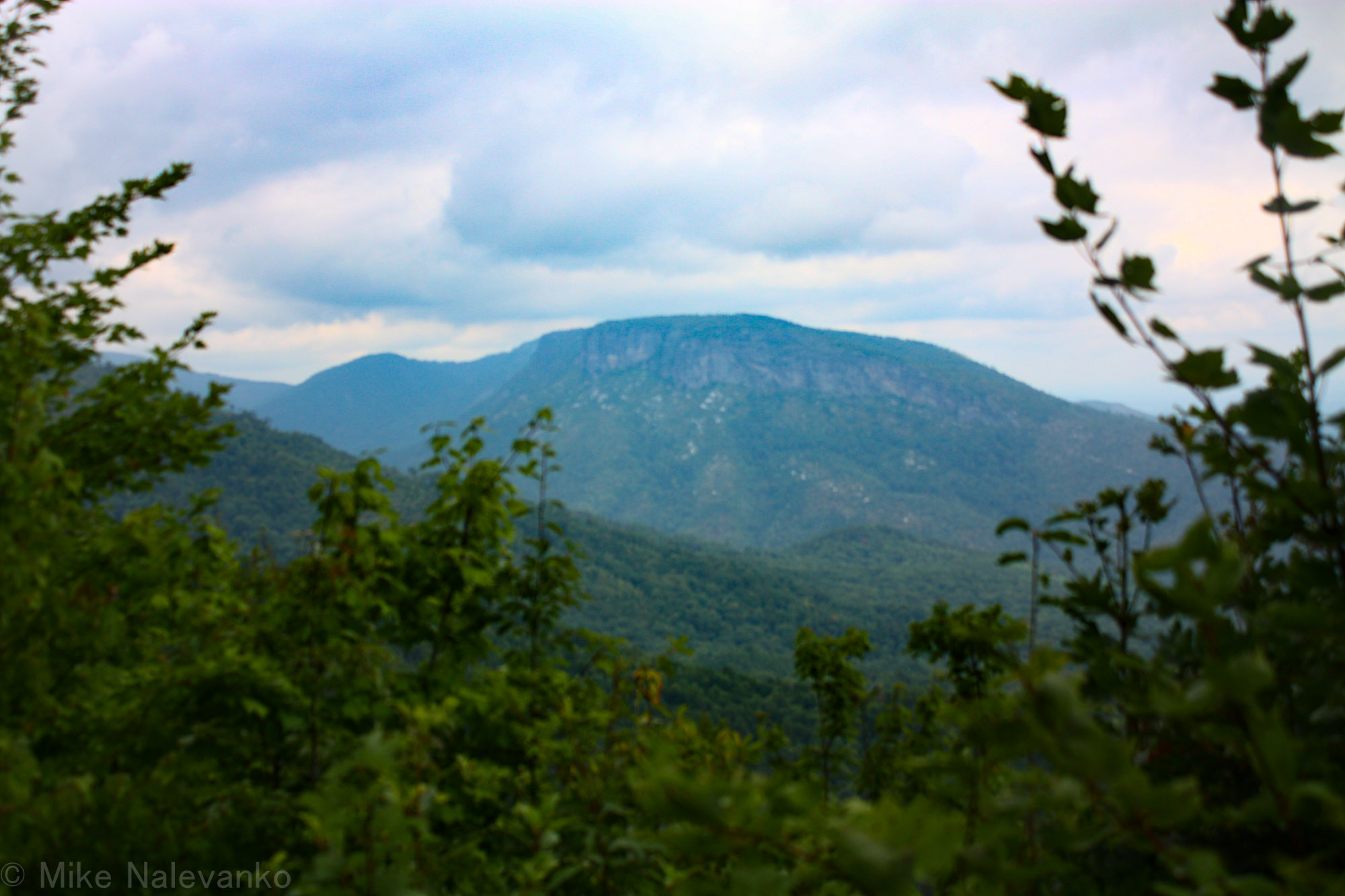
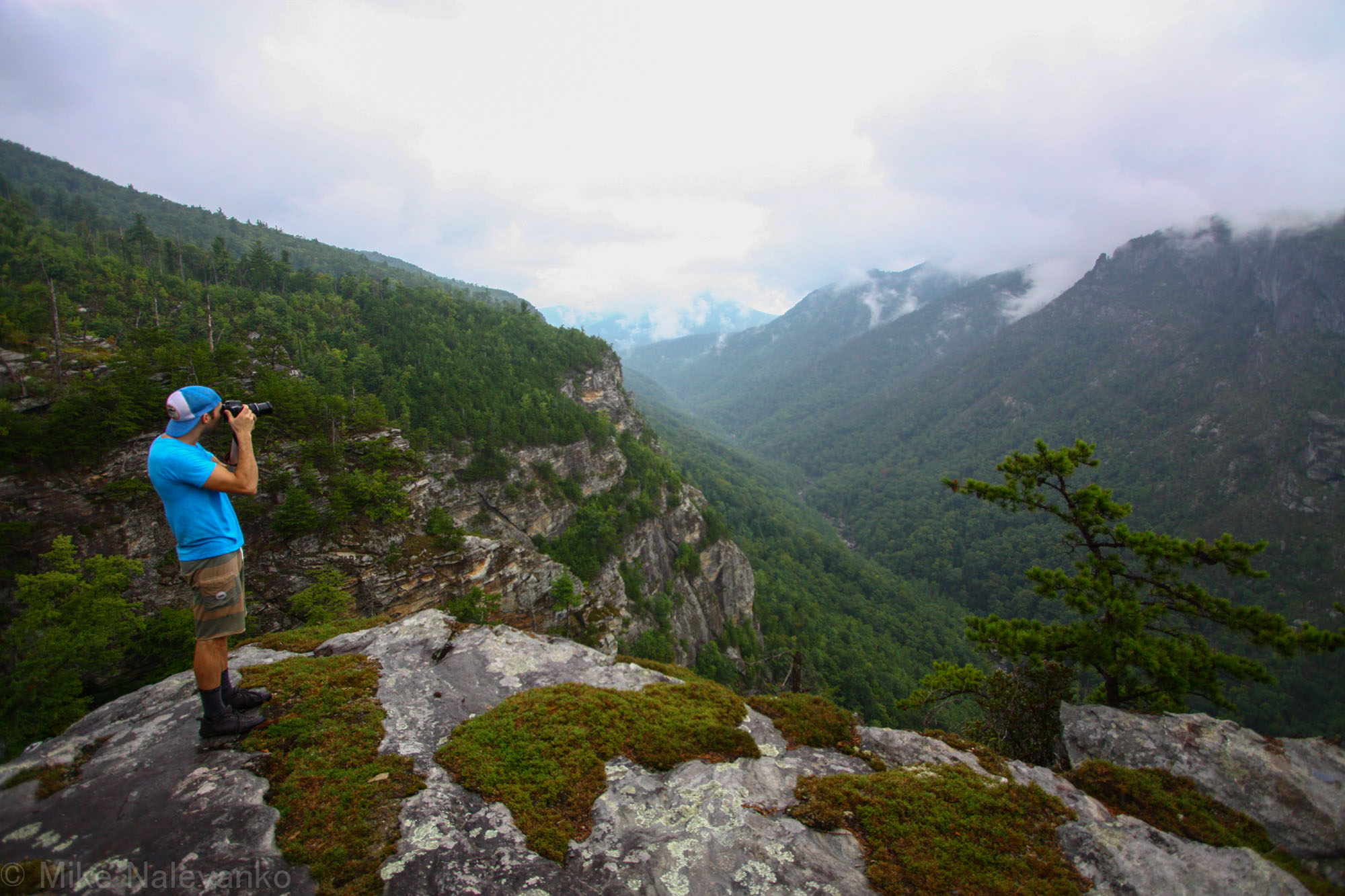
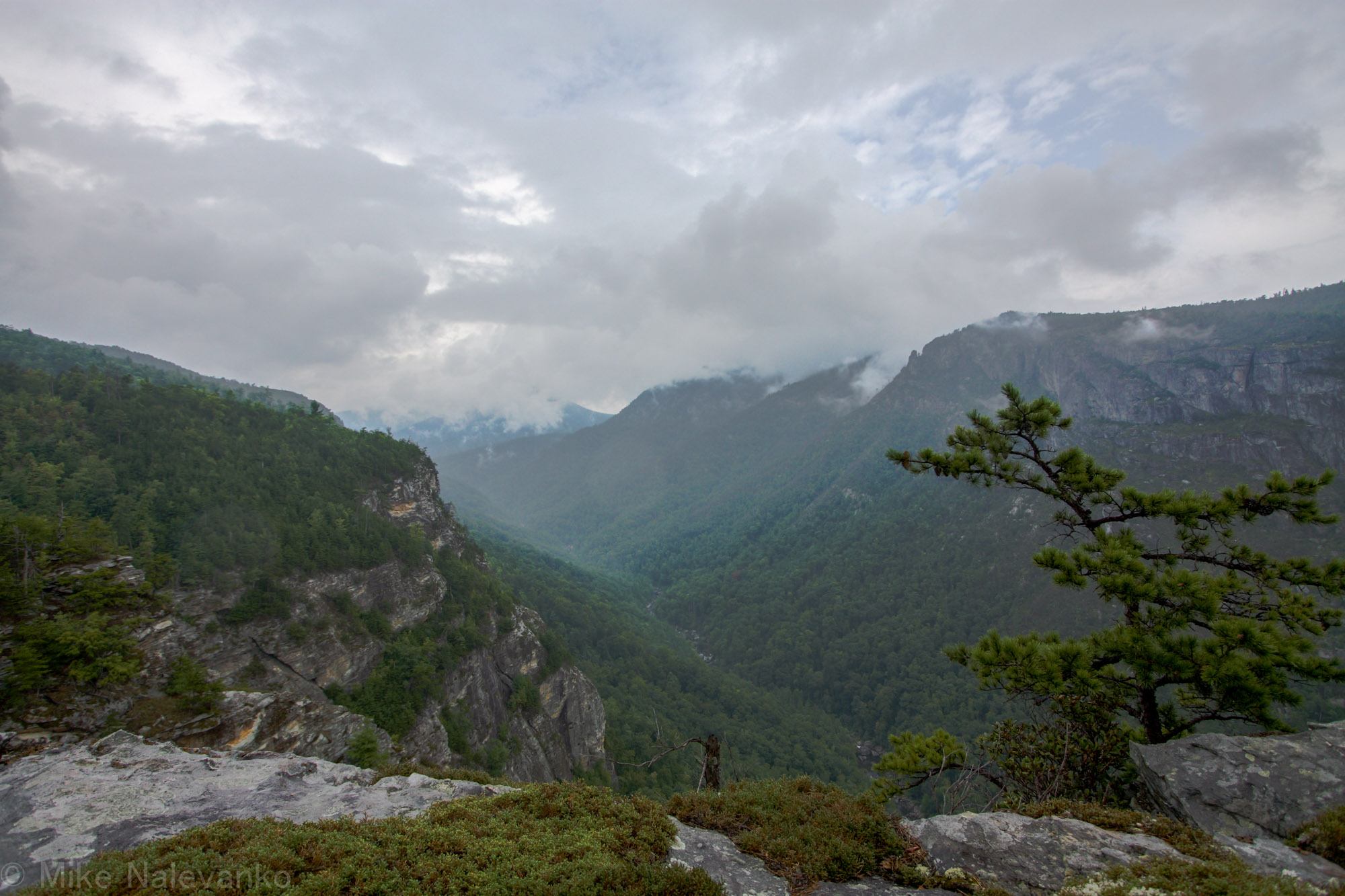
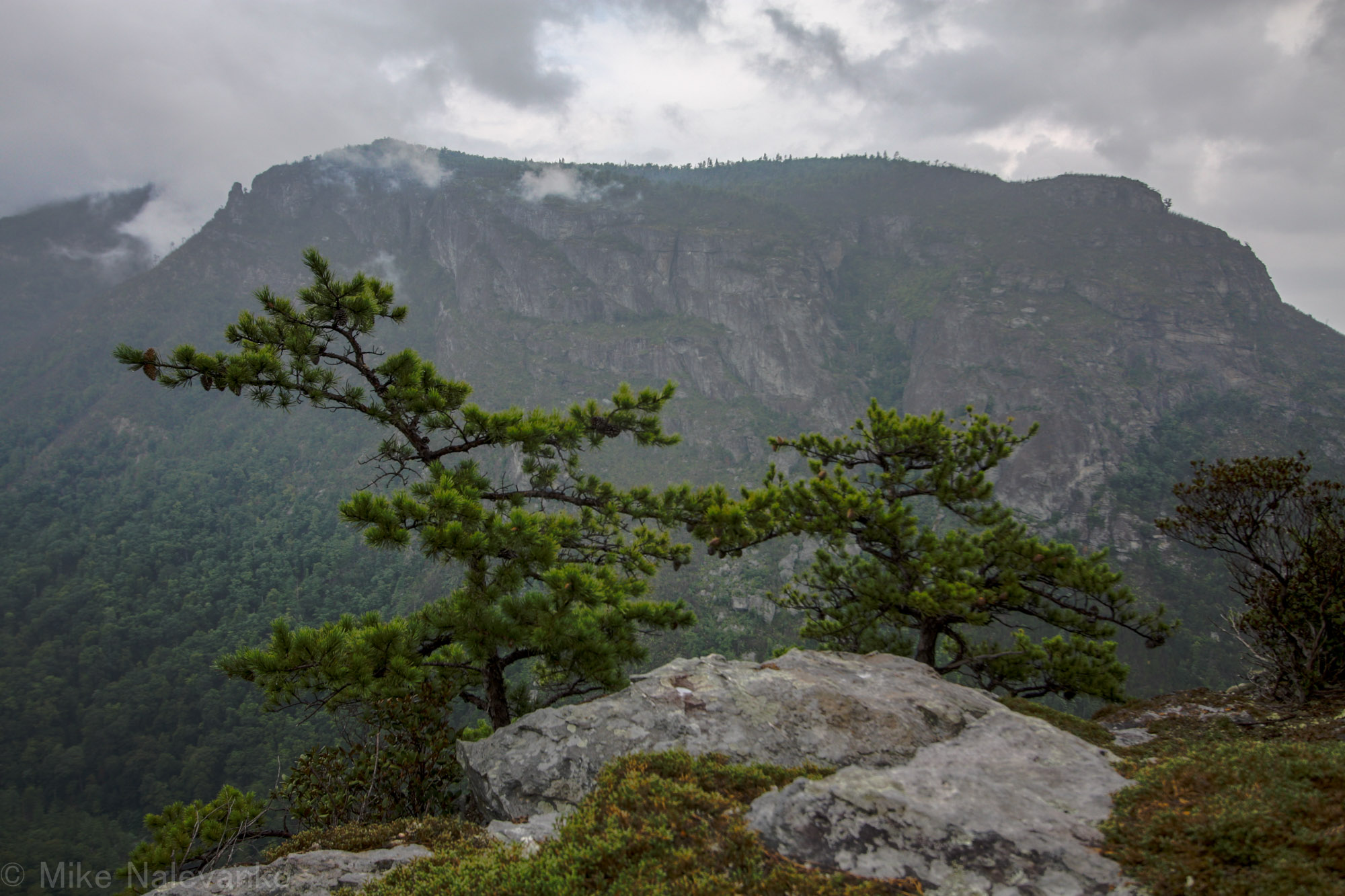
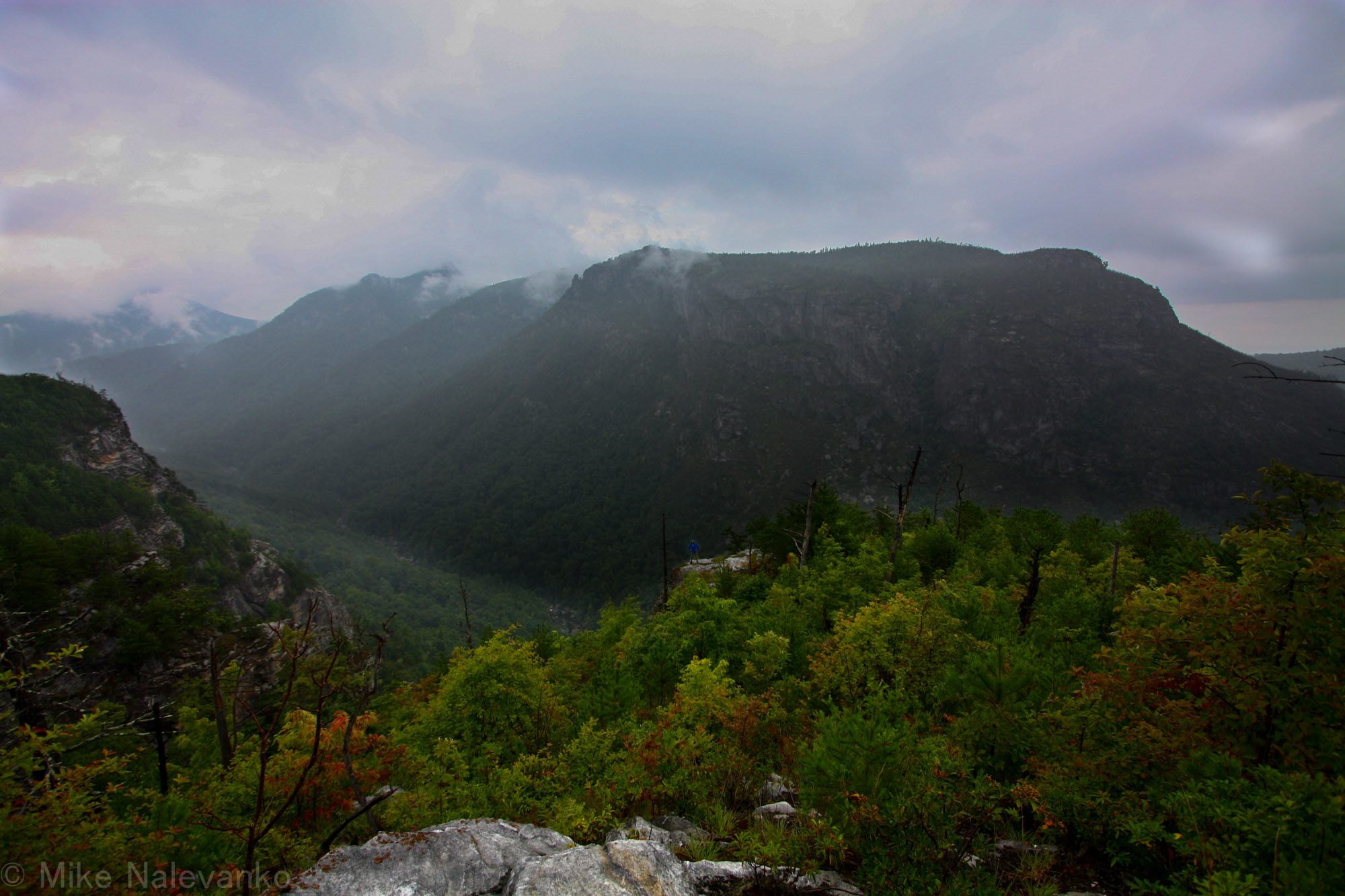
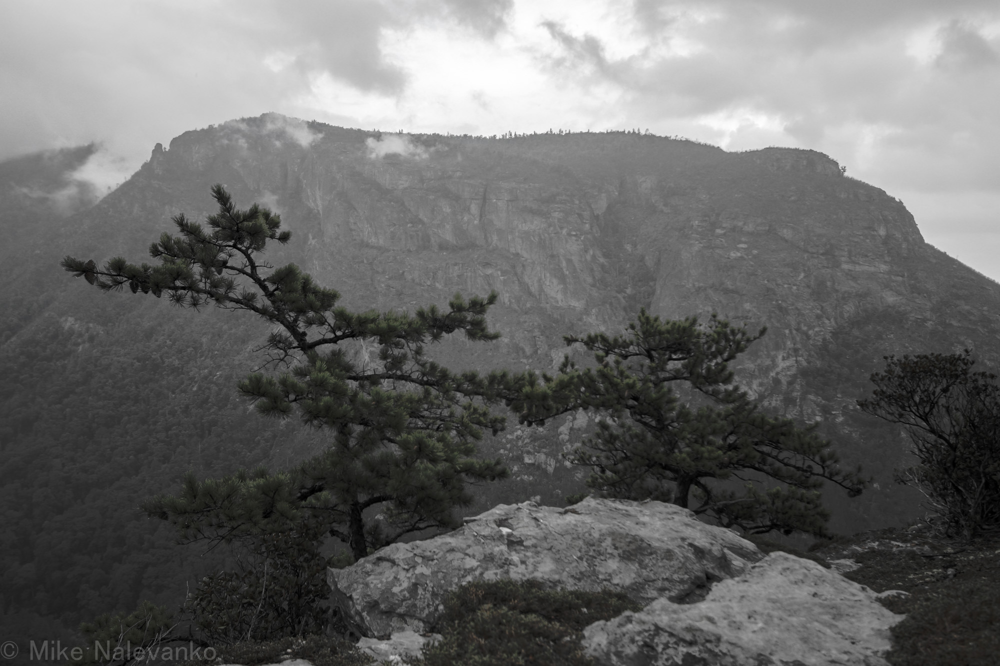
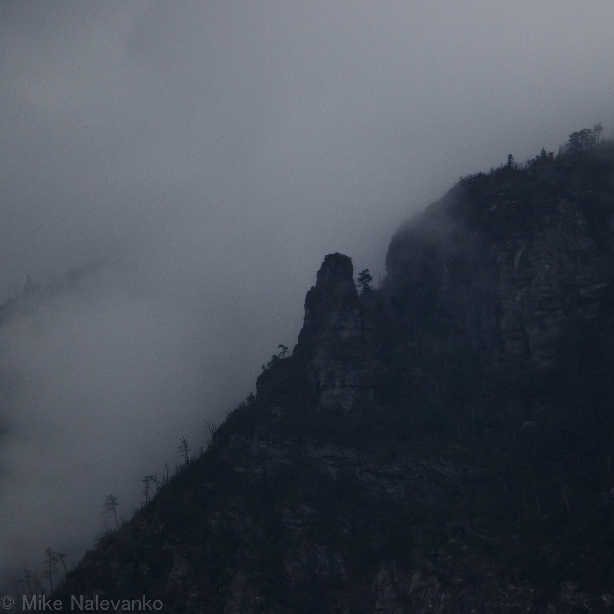
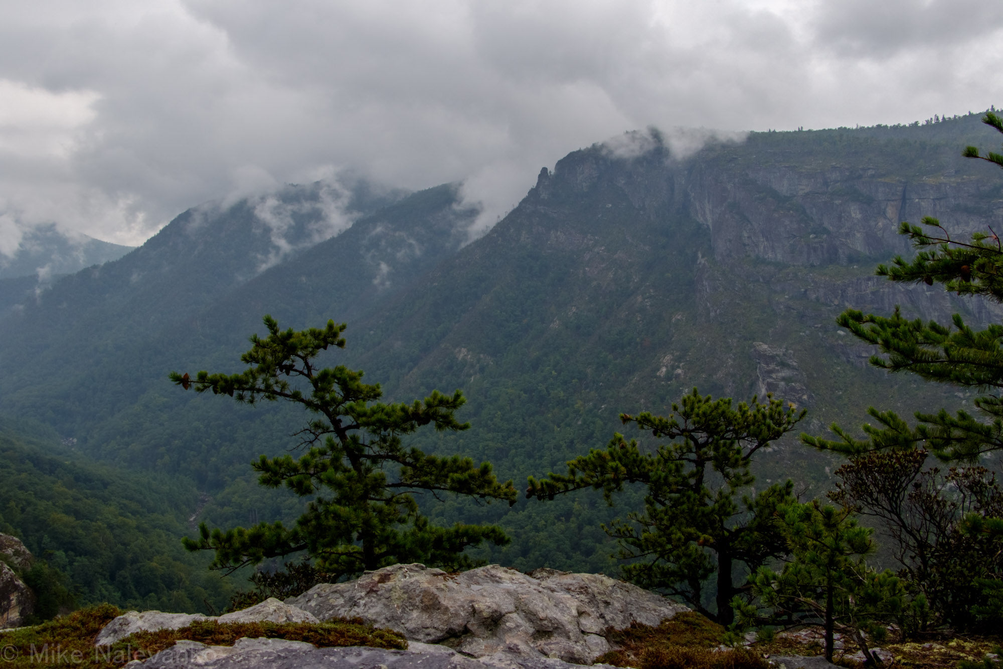
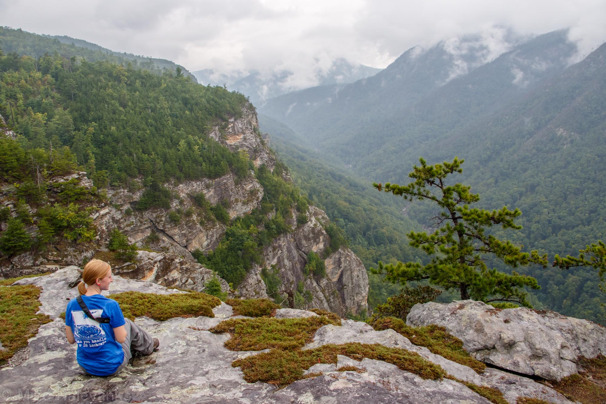
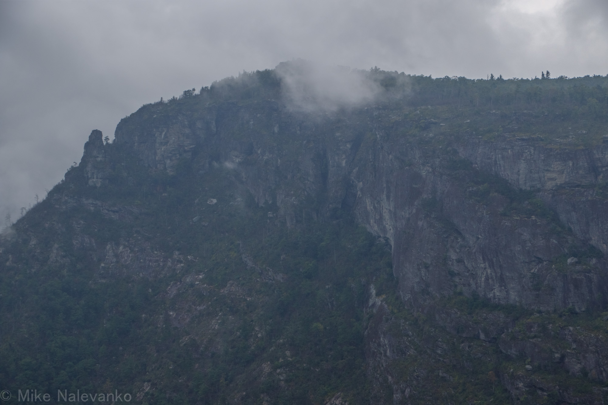
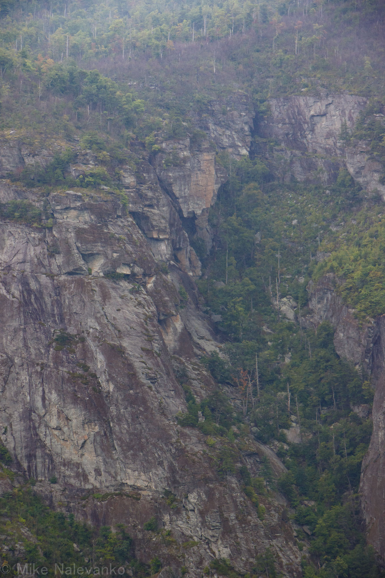
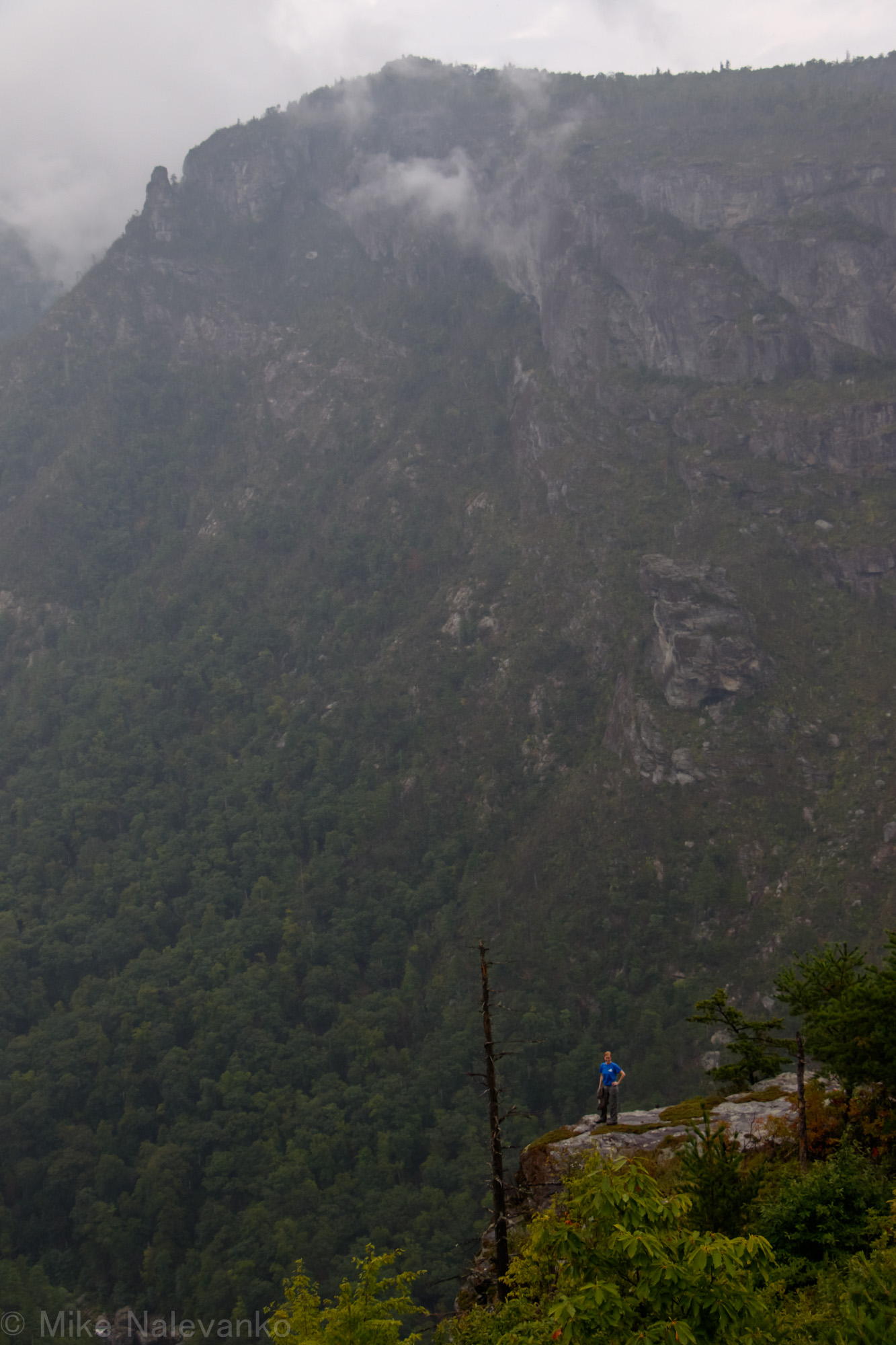
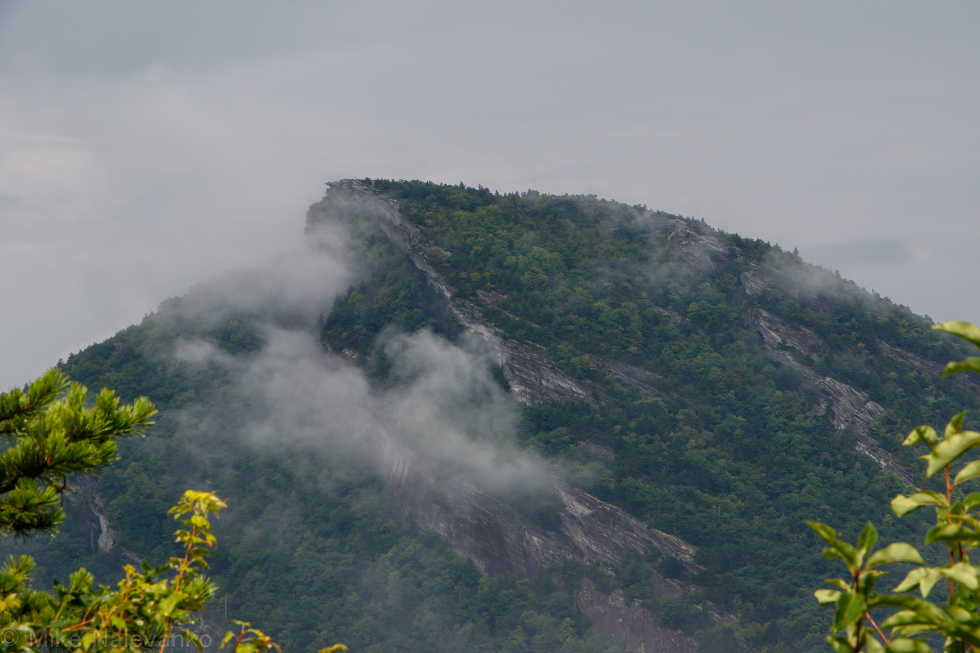
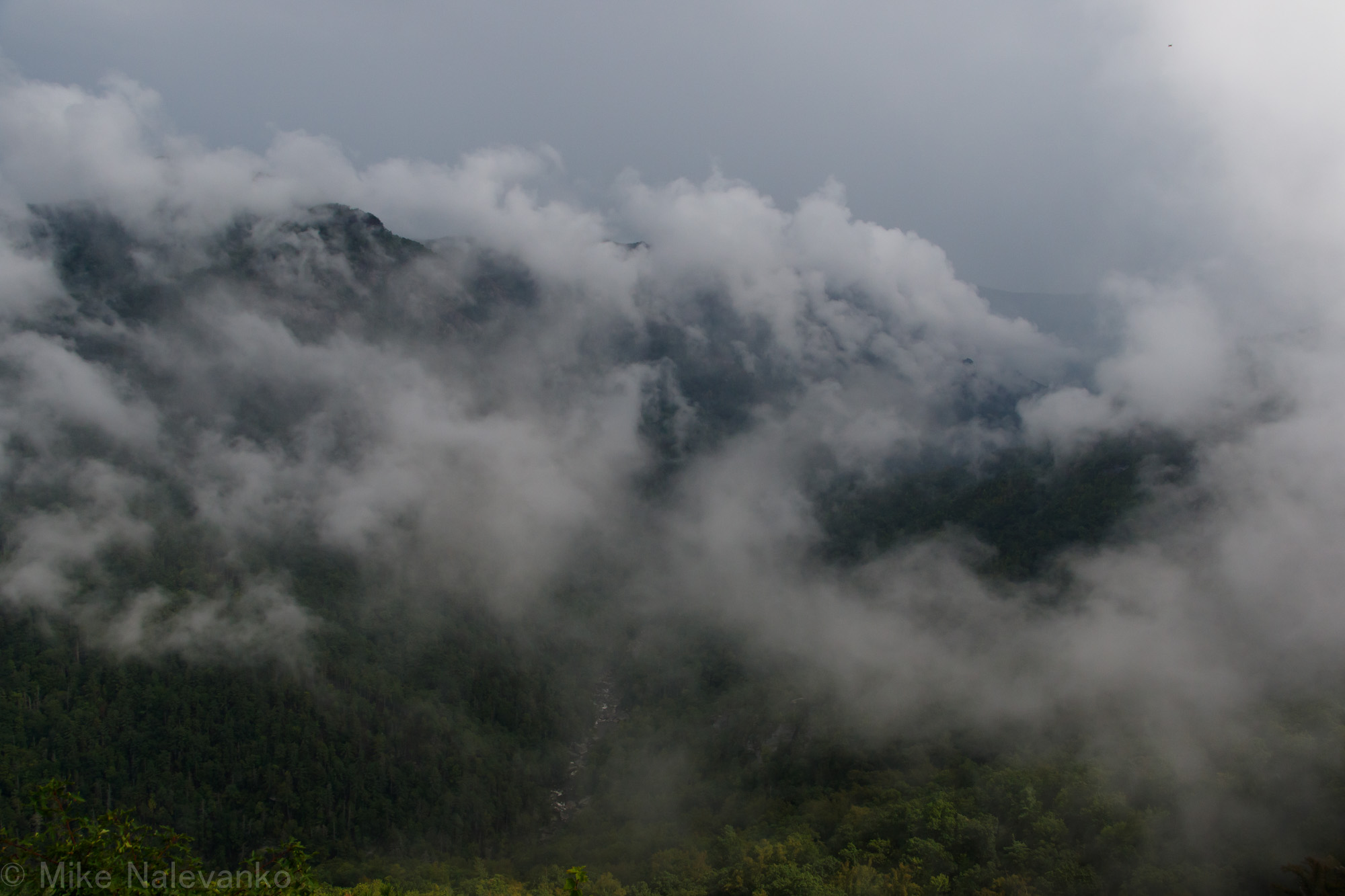
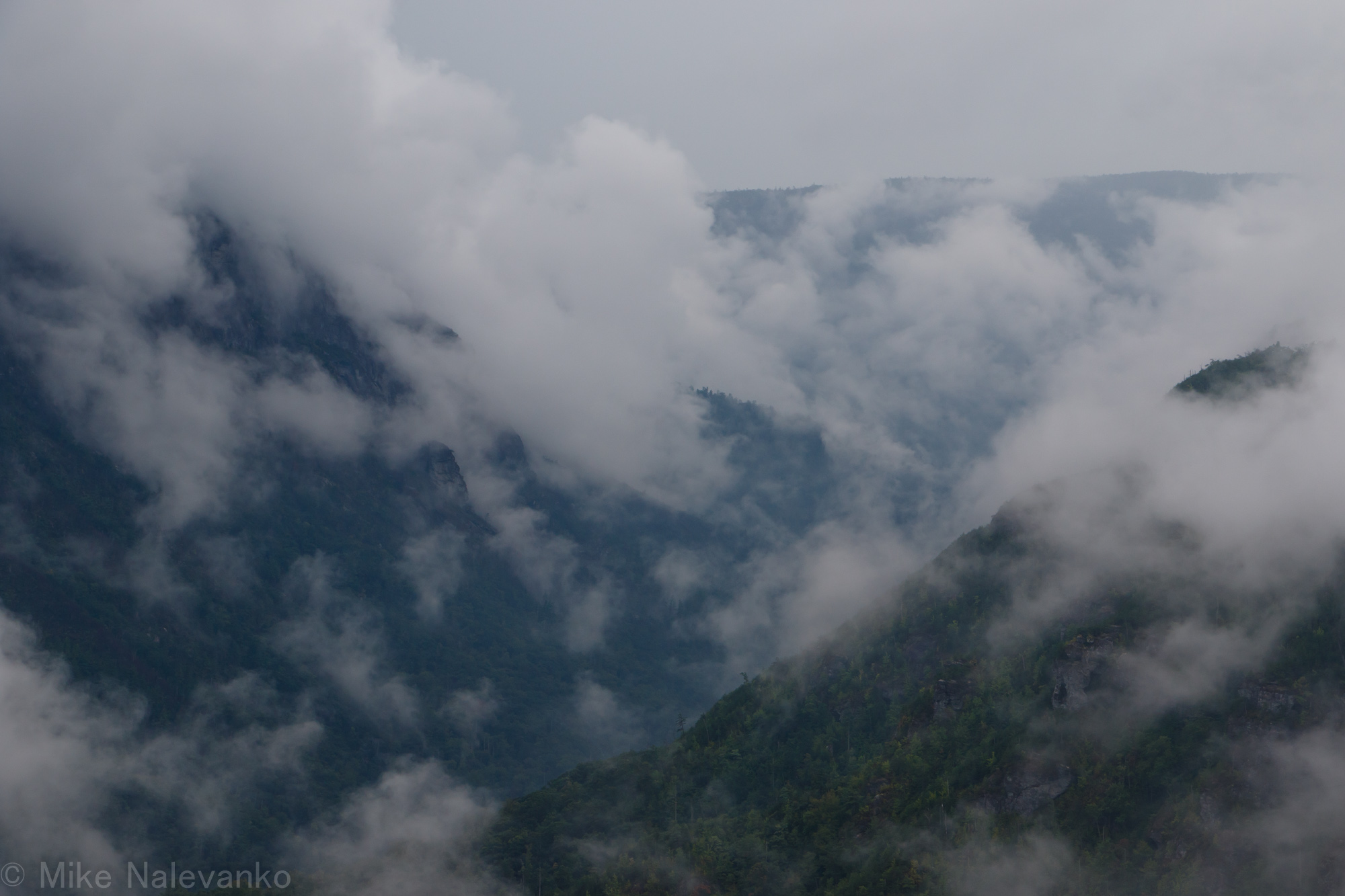
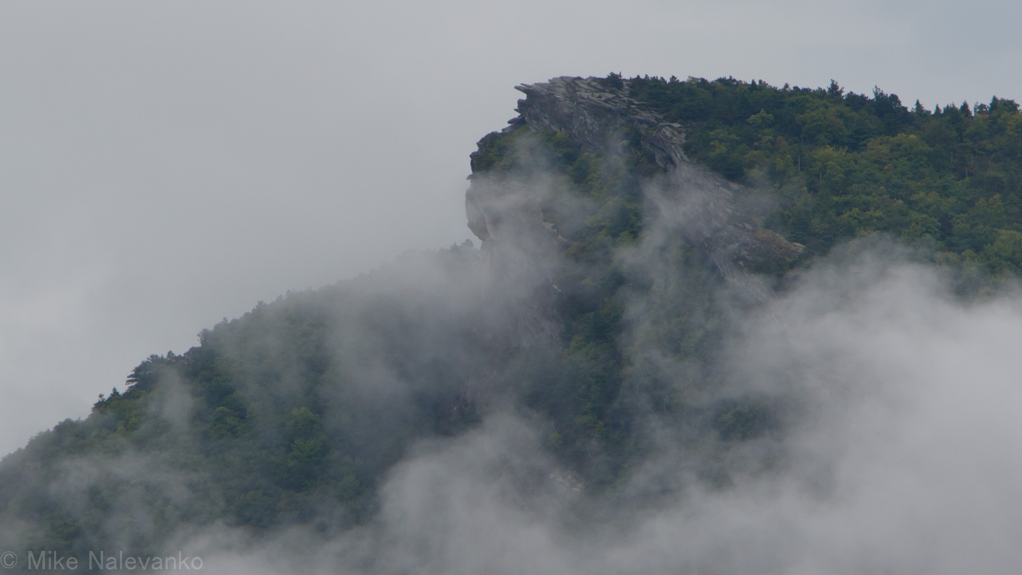
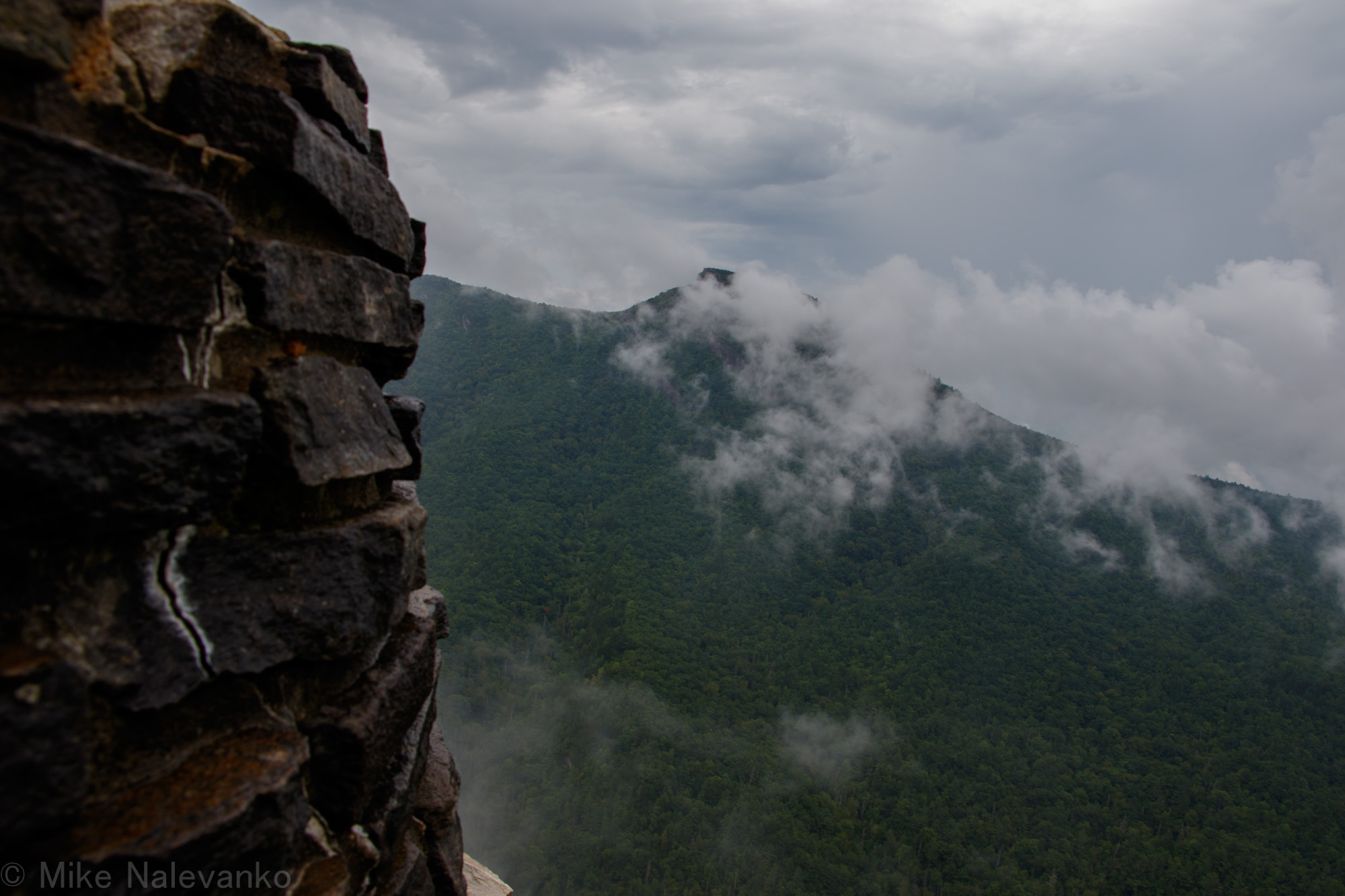
We found the main rock overlook at the point and took a break, with the rainstorm slowly increasing in pace. The clouds were still high at this point ,but views were morphing as they slowly descended and wrapped around the peaks. Success! I had given us a 60% chance of making it down the first connector trail and another 50/50 shot at locating the sunshine point.
The hike out took about a hour and had an elevation change of 1000ft. It was still bushwhack back even though we knew the trail from the hike in. The trees were heavily and drooping from the rain, so it wasn’t as well defined as we would have hoped.
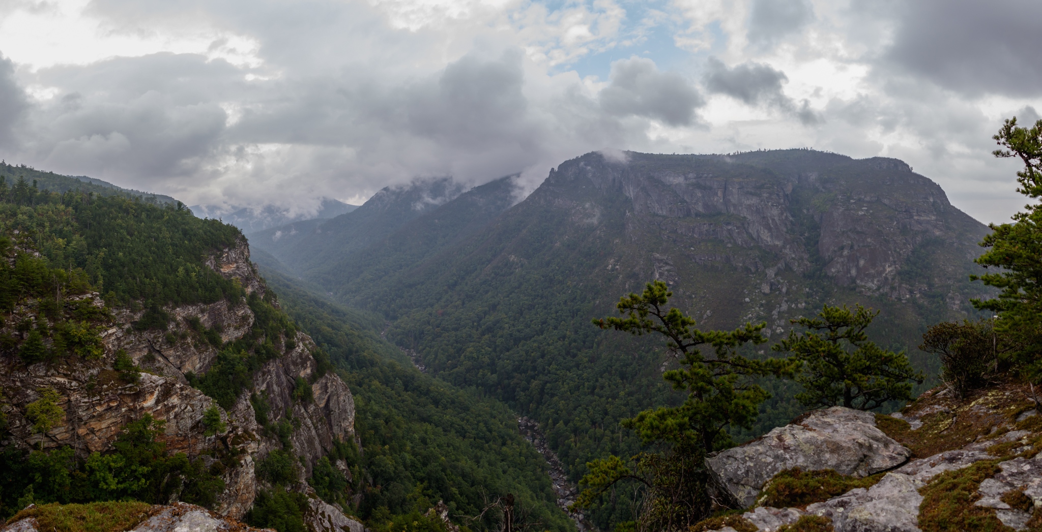
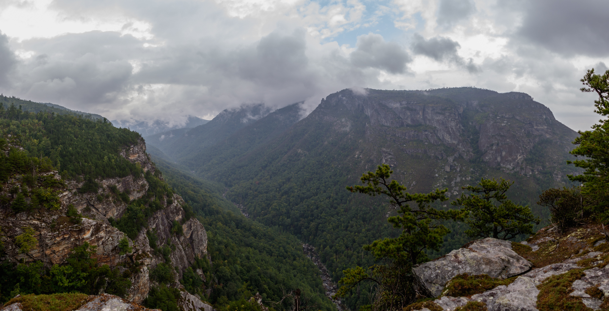
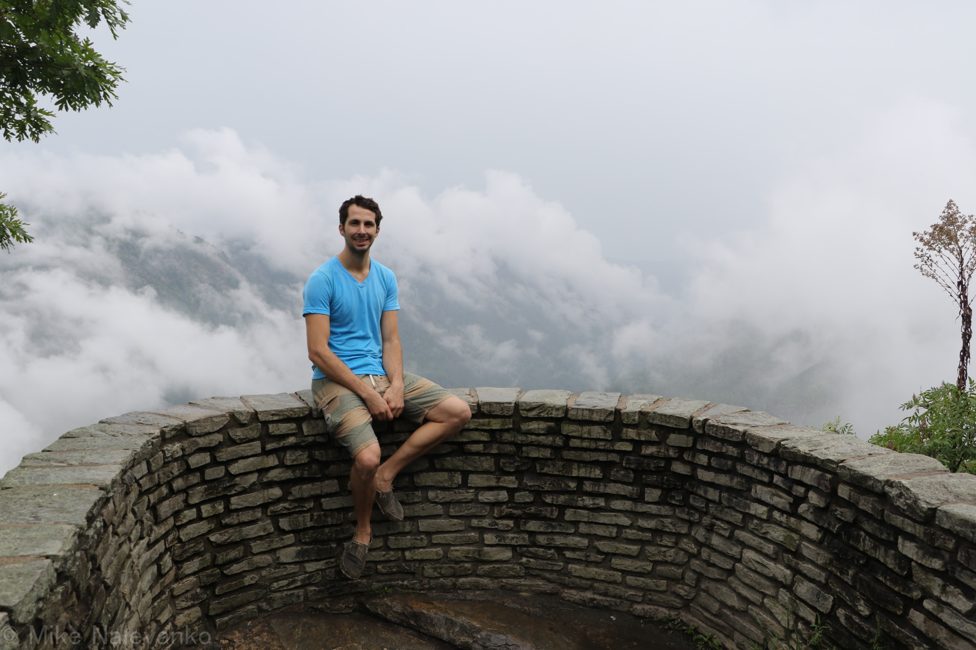
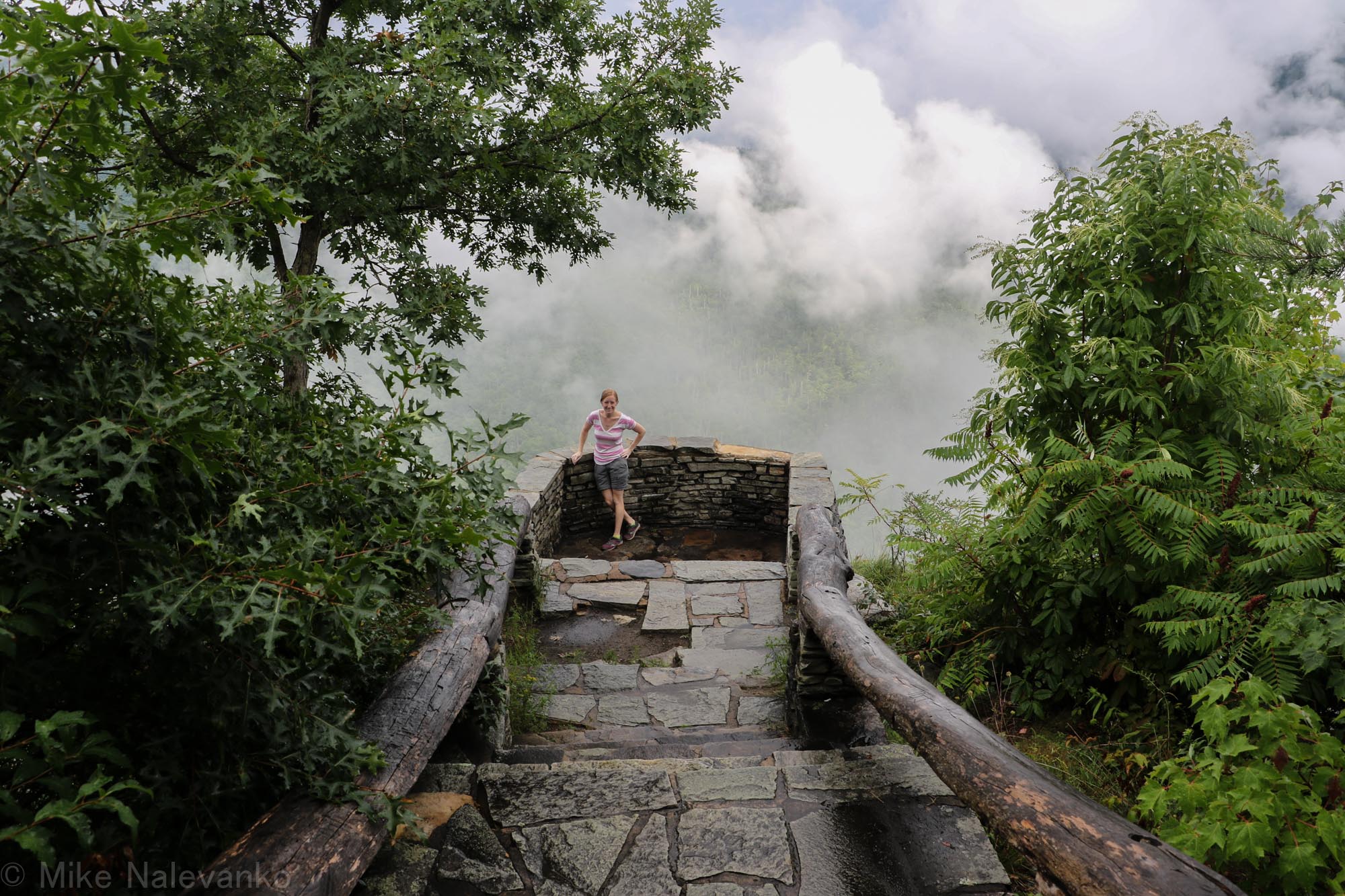
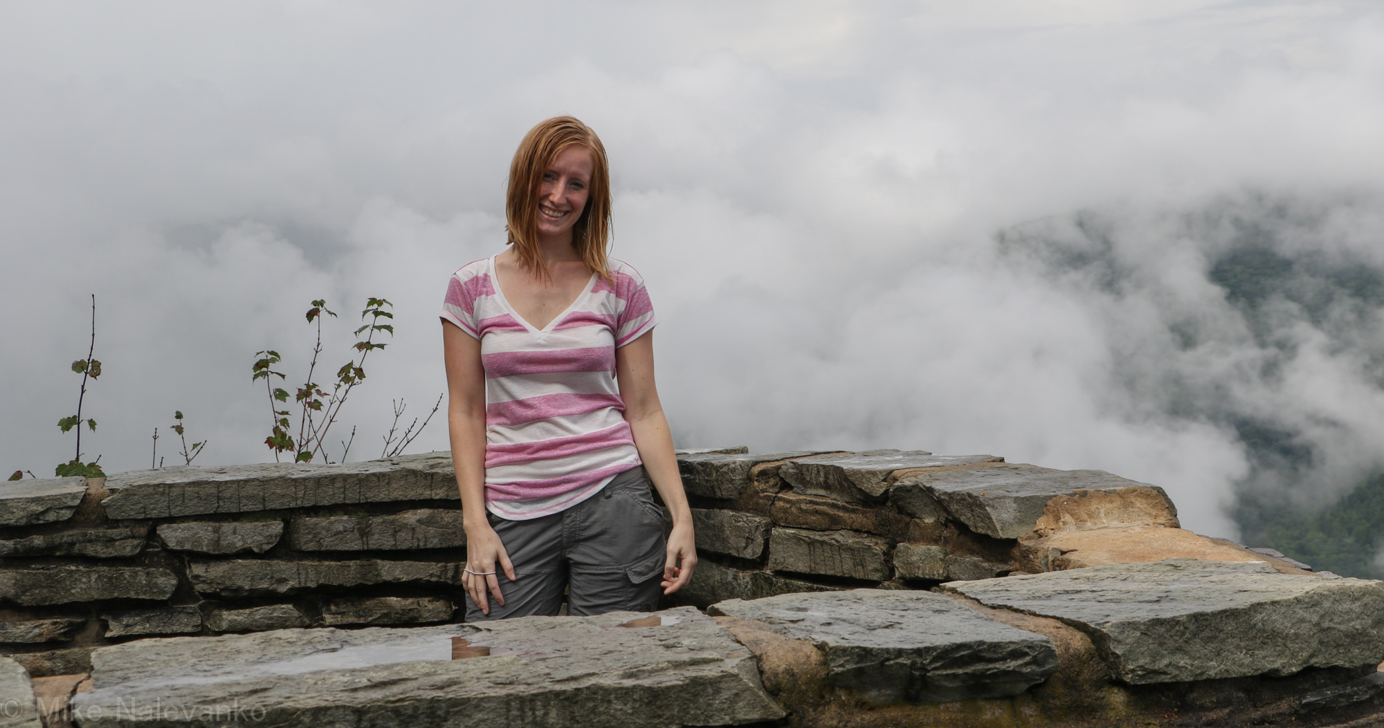
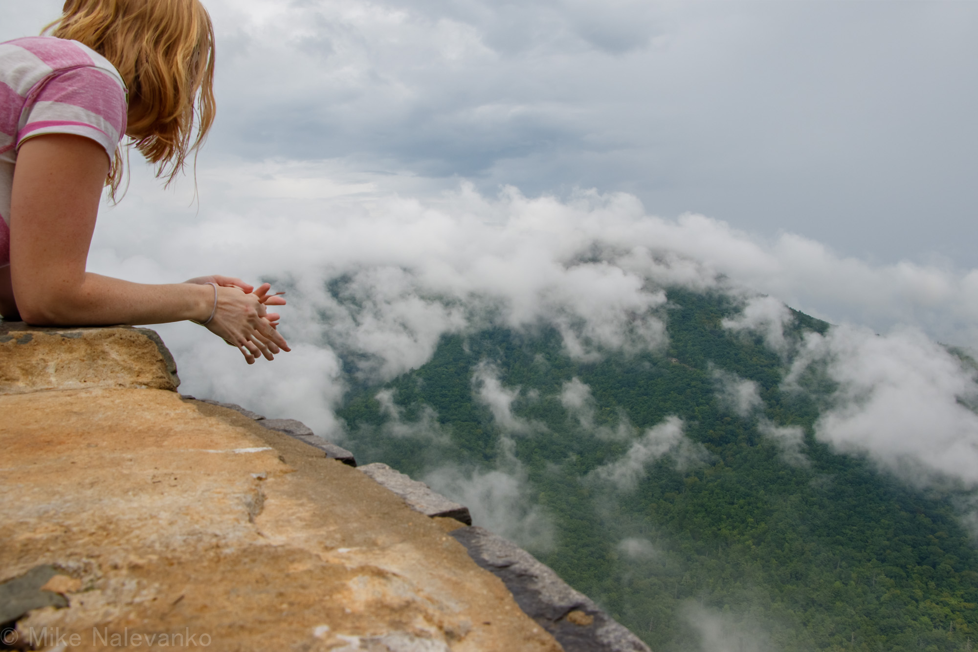
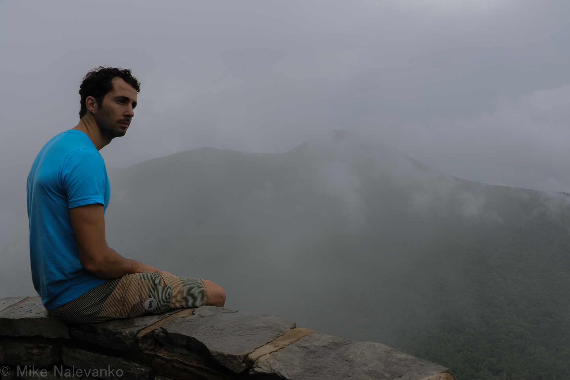
Soaked and happy, we made it back to the car and quickly changed. We drove down the road some getting our bearings for other trailheads, and eventually stopped to take the view in at “Wiseman’s View.” This spot has great views of the canyon and is very popular with the tourists for good reason. Paved paths lead you 5 mins to a great vista. We got some nice pictures of the rain clouds rising and descending in the gorge.
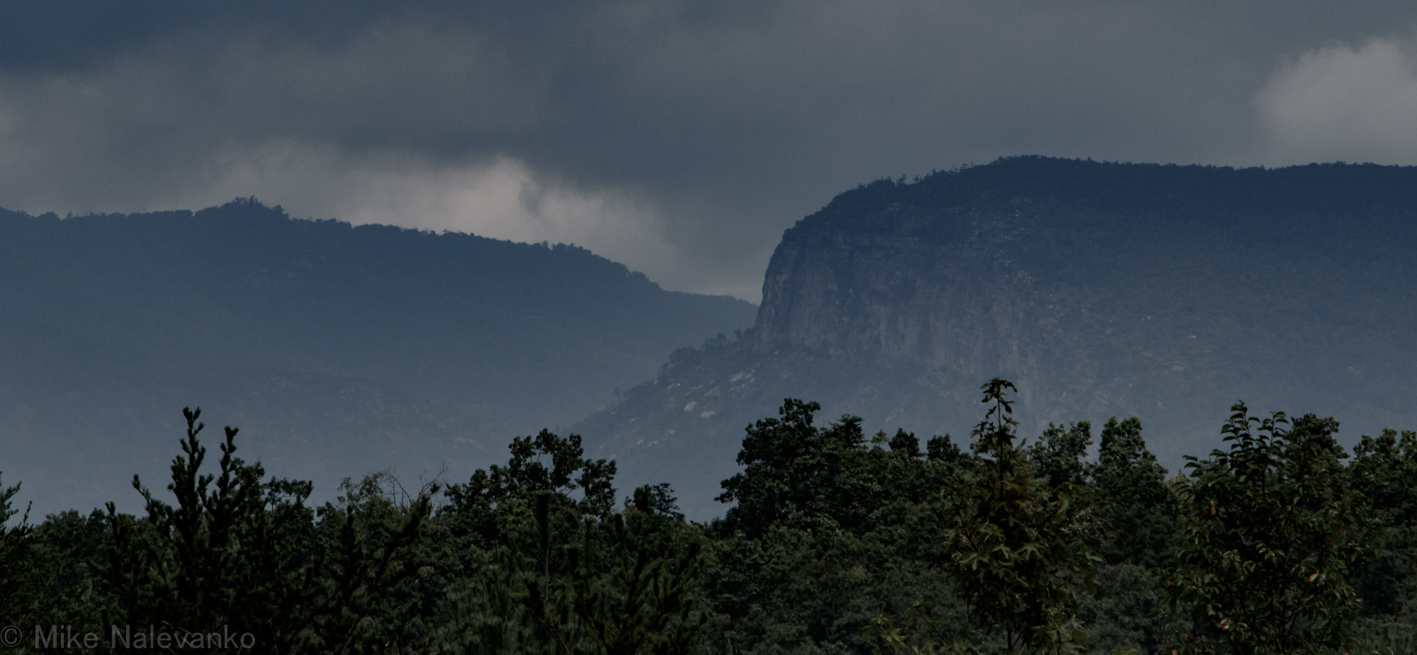
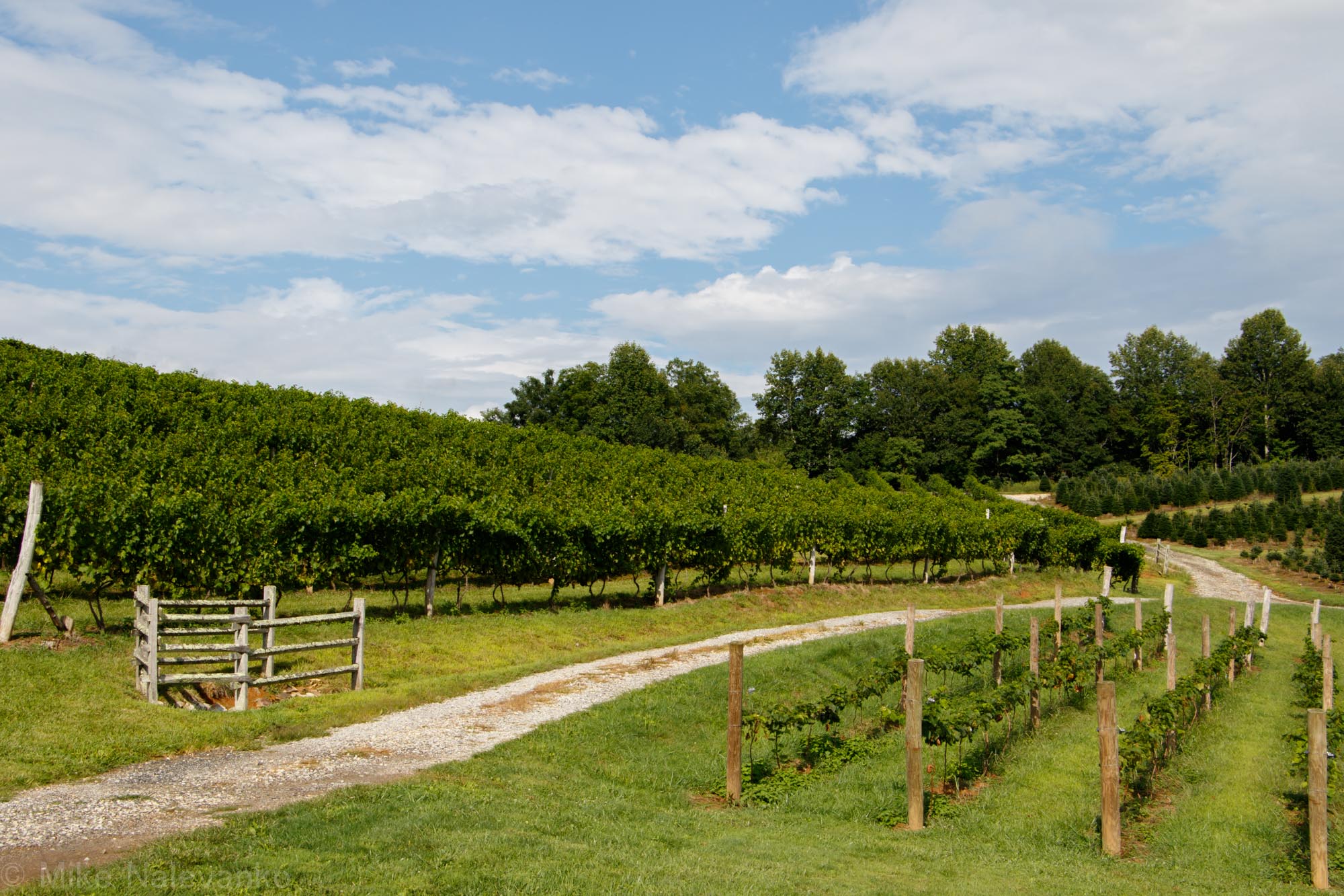
To reward ourselves for a good adventure, we quickly left for the Linville Falls Winery before they would close. It is a tradition of ours to go to a nice winery after hiking, preferably while we are sweaty and dirty. Drinking Cherry Bounce and blueberry wine, we watched the grape fields dry out as the rain moved away.
It was a good exploration day and next time, we may head back to look at Razor’s Edge or the Underworld.

