Humboldt in the Morning
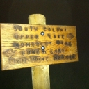
Late September, I made the impromptu decision to get out in the woods and do some more hiking. I was honored that Dave Carlino would be joining me for a expedition to check out the South Colony lakes and trailhead.
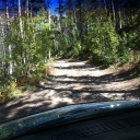
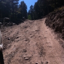
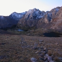
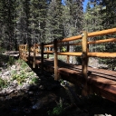
We left Friday afternoon and made our way to Westcliffe, CO to meet the junction to get to South Colony Rd. After cruising through a lush lowland plain, we hit the horrid washboard first section of the approach road. After a mile of horrid washboard, the real 4×4 road started. The Blazer expertly cruised up and through the vicious rock garden and narrow paths. Soon we were at the new trail head, which now requires an extra 2-3 miles of approach hiking since it closed. We ate some chili and were off the old 4×4 road to the lakes at 6pm. We hiked through dusk, and eventually made camp above the low lake in a clearing on a brush field around 9pm.
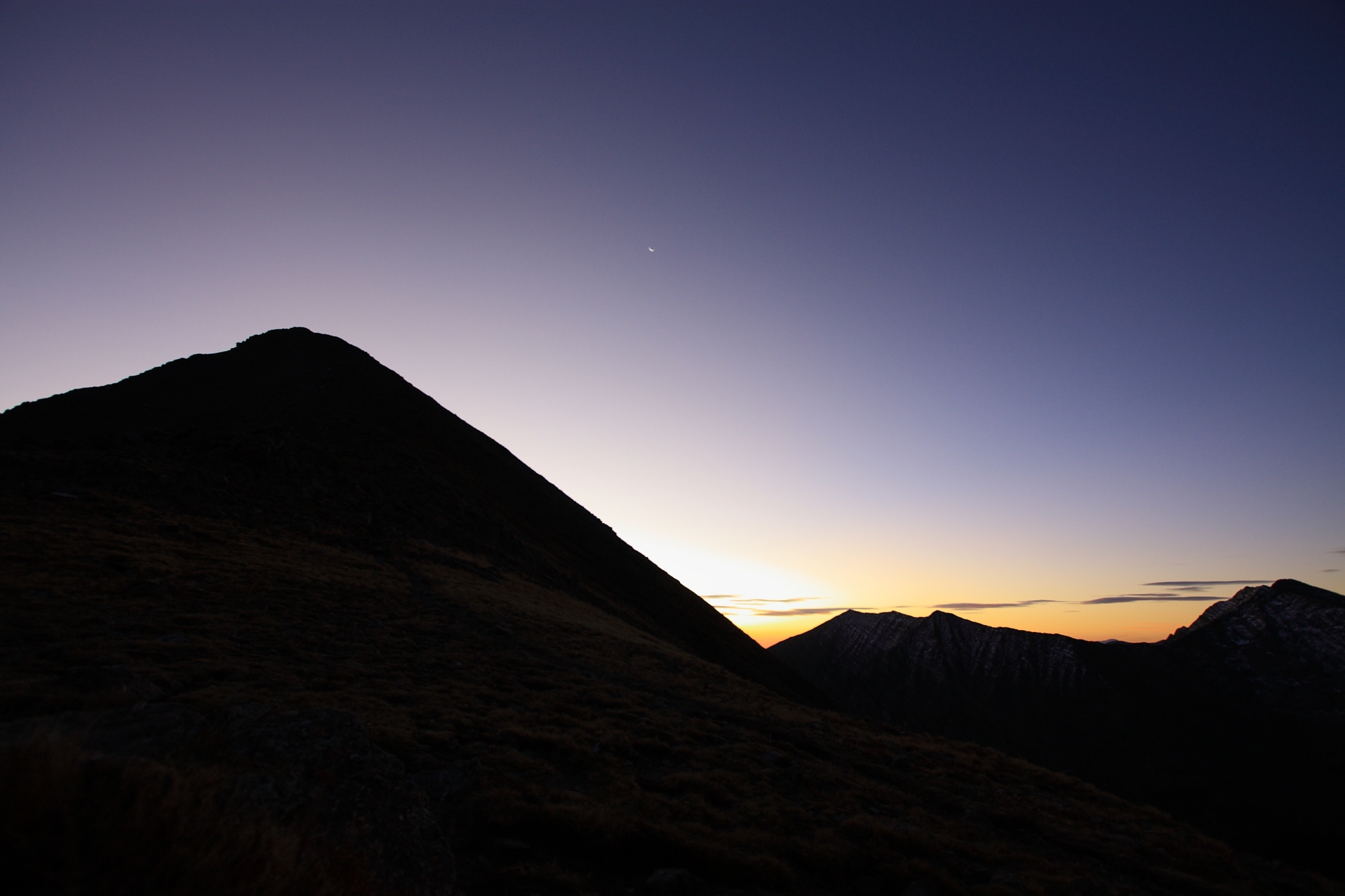
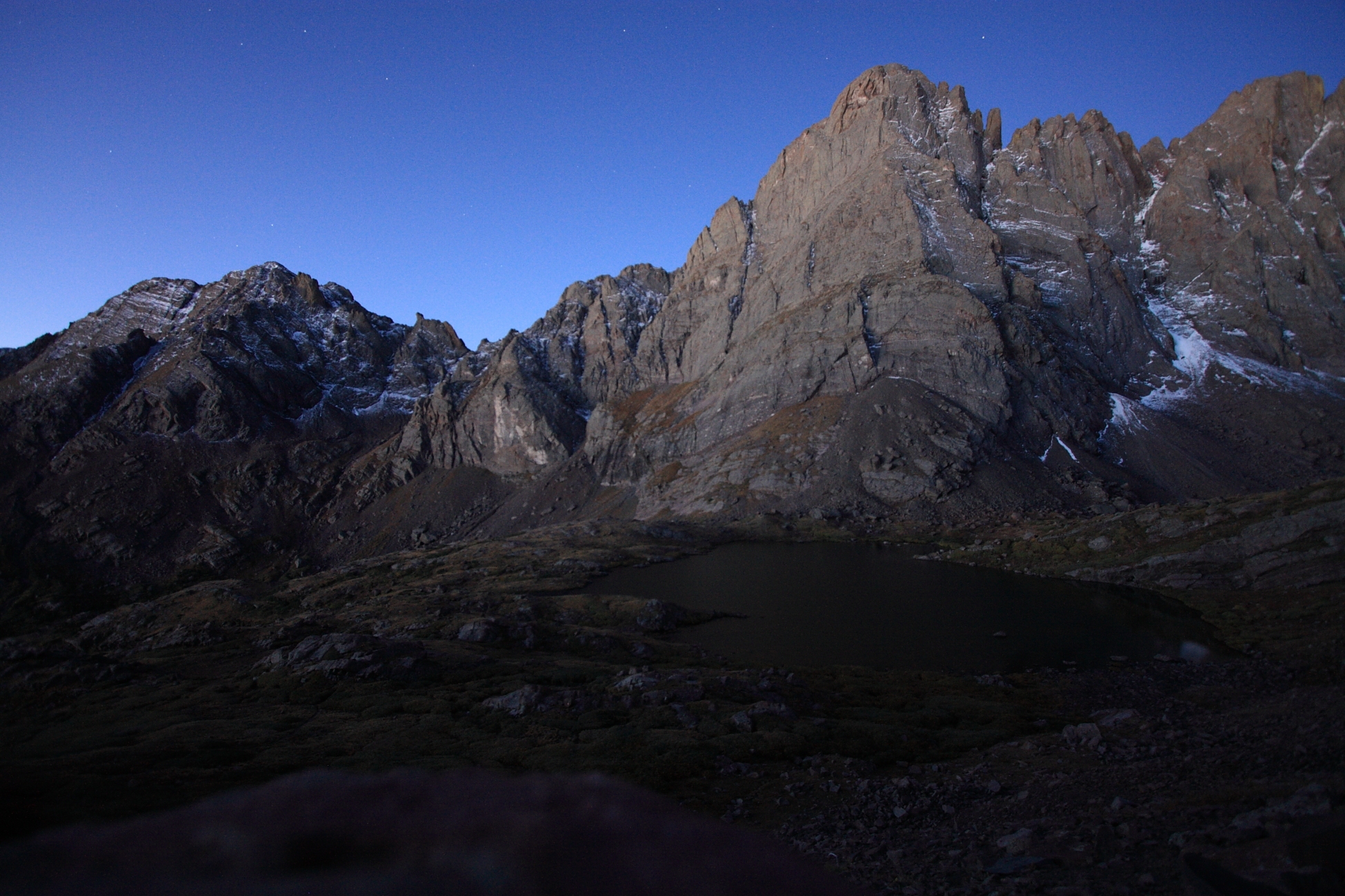
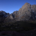
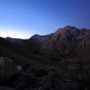
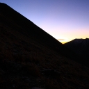
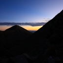
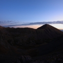
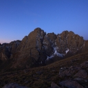
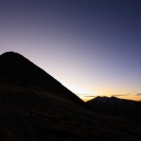
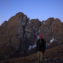
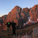
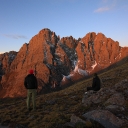
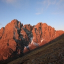
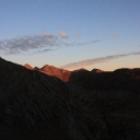
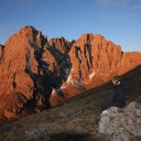
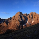
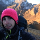
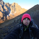
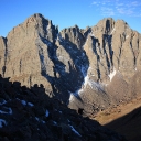
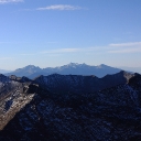
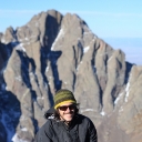
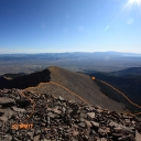
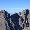
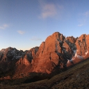
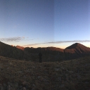
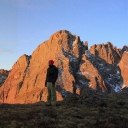
The alarm went off at 5am, we downed instant coffee and continued up the Humboldt switchbacks. We rushed quickly to get to the saddle before sunrise. Along the way the sun quietly crept higher, painting the Crestone in many colors.
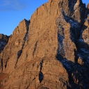
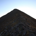
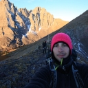
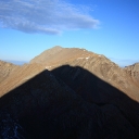
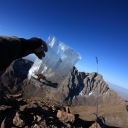
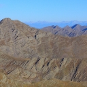
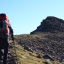
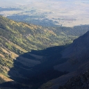
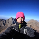
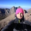
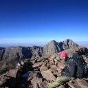
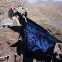
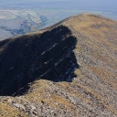
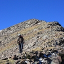
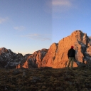
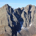
Once to the ridge, we took a break and some photos but then continued up the ridge to the summit of Humboldt. Along the west ridge there was some nice class 2 scrambling with some minor route finding. Eventually we made the summit by 930am. We ate some more, but were low on water. Also during the summit, a couple small rocks broke loose from the peaks edge and continued to some large slides into the valley below (about 2500ft). (Click here for a picture of Humboldt taken from across the valley.)
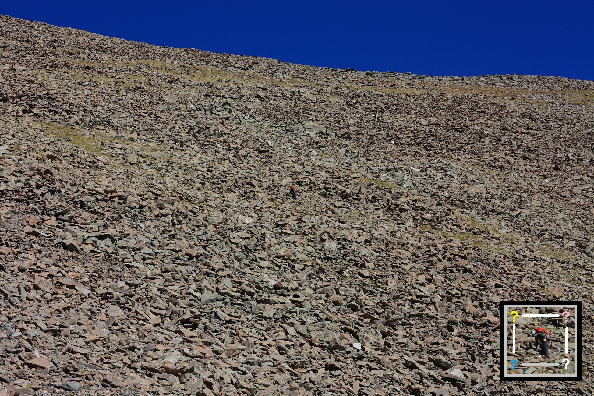
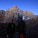
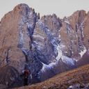
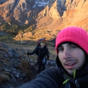
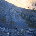
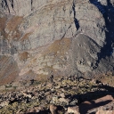
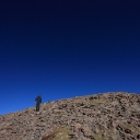
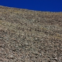
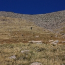
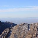
We decided to bushwhack down the East Ridge to get down the mountain. The ridge itself was fun, but then we had to cross an evil talus field. This was probably the most miserable part of the hike. Each step the entire rock pile would shift and tilt. Try and find Dave in the picture. We ended up descend the normal snow ascent route and pushed through the upper pine forest to finally reconnect with the old 4×4 road.
We made it back to the Blazer at 12:30 and hiked about 9.5 miles. The elevation profile on Dave’s GPS was pretty hilarious. We crept out the 4×4 trail to Westcliffe, let the Blazer cool down from overheating and had lunch in very strange ruff-neck bar.

