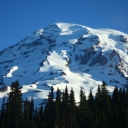
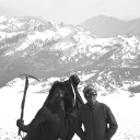
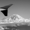
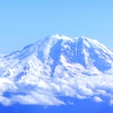
Many moons ago, Ben had a great idea for a mountaineering trip up the great volcanic peak of Mount Rainer. It took many hours of planning on his part and some serious commitments from others in the group to make this a reality, but this summer it finally happened. A group of four unguided climbers made they run on Rainier, the Icy Jewel of the Northwest.
Since most of the trip was focused on the actually assault on the mountain, but we did decide to explore the city of Seattle a good bit, I’ll be breaking up this adventure in to two parts. Let’s begin with the Mountain!
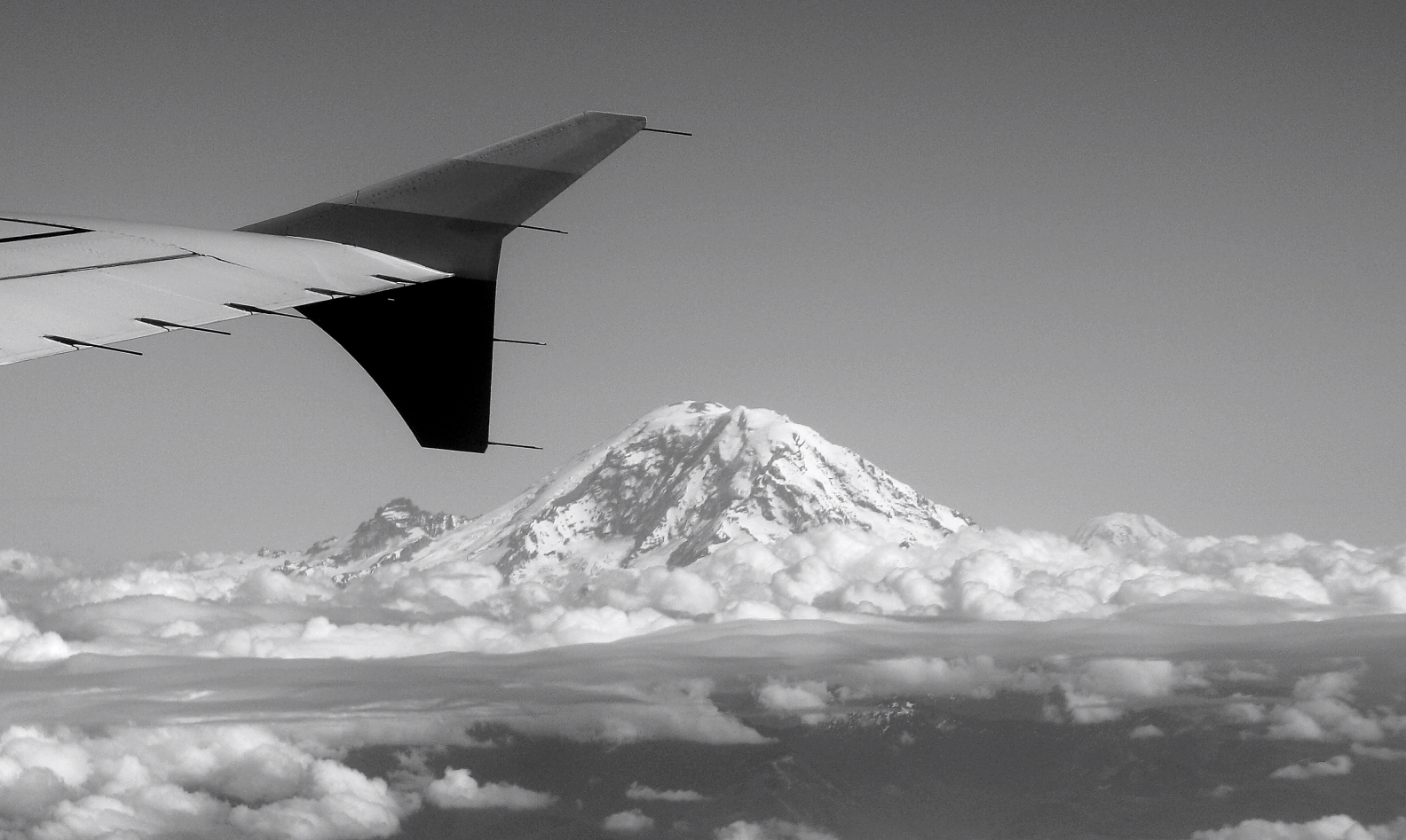
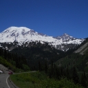
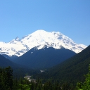
Rainer is massive volcanic peak located just out side of Seattle, but it dominates the skyline. We left the night before our schedule hike to get closer to the trail for the next morning. We found a shady, back road that you could see where the locals like to have rootin’ tootin’ good time. So we pulled the car off the road and made camp as best we could. We feasted that night on cheap bread and chicken. All was well for the morning hike.
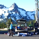
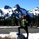
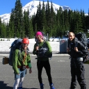
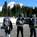
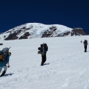
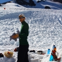
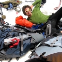
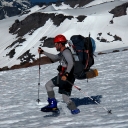
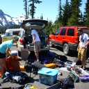
In the morning, we packed up camp and headed to the trail head. There we lined out all that was to be packed and sorted lots of logistics out (I found out that mountaineering is more of gear slogging than other stuff). The mass of shit encompassed multiple parking spots. The weather for the day was going to be very unseasonably warm. The entire trip was scheduled for gorgeous weather so we all donned our light hiking gear for the first ascent. Being that I get hot really fast, I decided that it would be necessary to break out my euro hiking attire. From now on, the entire hike up to base camp, I would be referred to as “Gunter” in my stretchy pants.
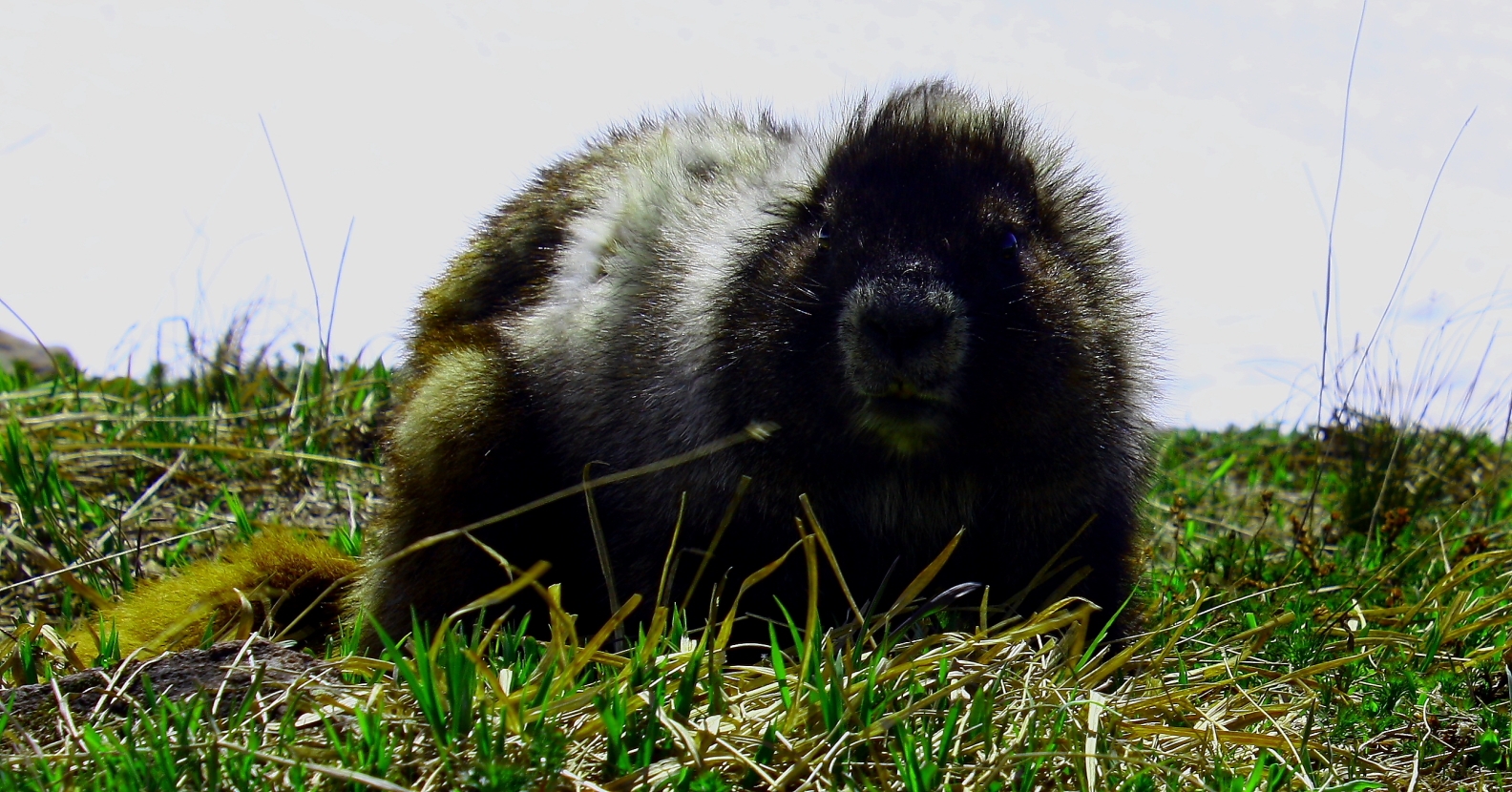
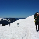
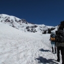
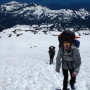
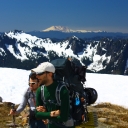
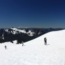
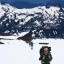
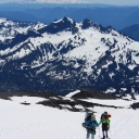
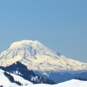
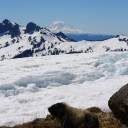
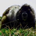
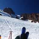
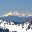
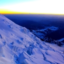
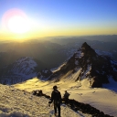
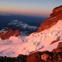
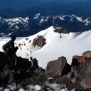
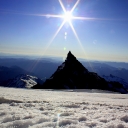
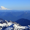
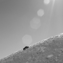
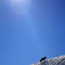
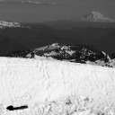
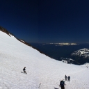
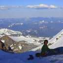
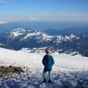
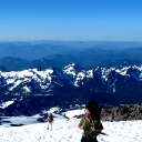
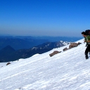
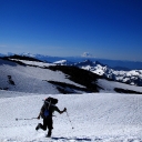
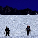
The snowpack quickly became soft and mushy and made the trip up nice and grueling. Along the way we passed several guide trips to further ensure our bad ass-ness. Also during one pit stop, we ran across a hoary (Whorey) marmot. This animal was definitely a vulgar slutty nasty creature and it was good to see another evil aspect of the marmot species. While hiking up the additional 5000 vertical ft to base camp, we were presented with great scenic views of Mount Adams, Mount Hood, and Mount Saint Helen’s. From our direction you could see the crater from Saint Helen’s explosion.
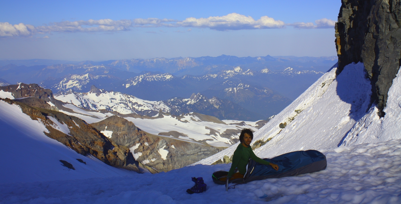
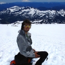
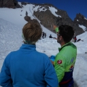
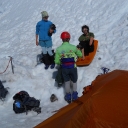
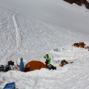
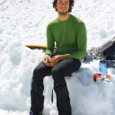
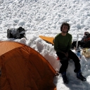
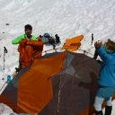
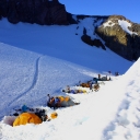
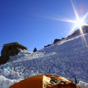
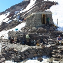
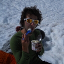
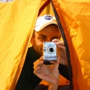
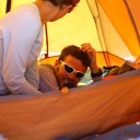
By early afternoon, we made to base camp and claimed a tent spot. Here we rested and made some food in the warmth and comfort of a snow drift and snow wall. We finally got some sleep around 7pm, getting ready for our summit attempt at 11pm.
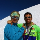
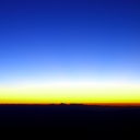
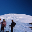
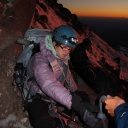
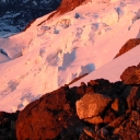
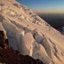
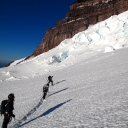
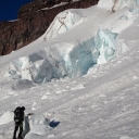
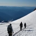
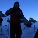
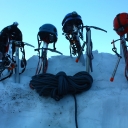
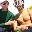
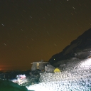
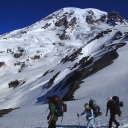
11pm came extremely fast and we got dressed as quickly as possibly, and sorted our the ropes and gear. Ben took the lead, followed by Bruce, Amanda and then myself. We made our way out of the Muir Snowfield to the Ingraham Glacier with amazing starlight. After hiking for a couple hours, we made it to the Ingraham Glacier (the high altitude campsite). From here, we had to be mindful of breaks in the snow leading to massive crevasses. I remember distinctly that I was walking by a small break in the snow and looked down at my crampons. I shined my headlamp down in the hole, only to see complete nothingness.
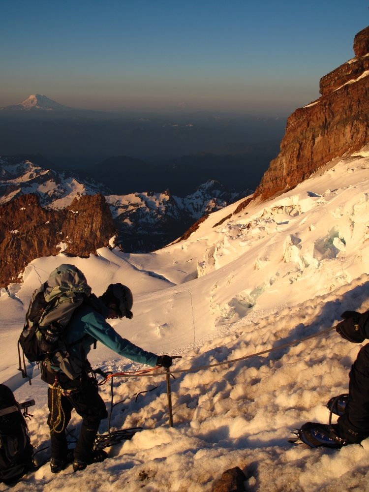
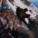
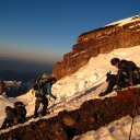
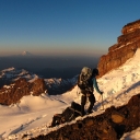
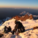
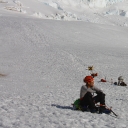
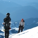
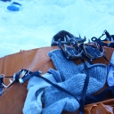
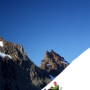
Then we started to ascend the DC (Disappointment Cleaver) route. Here it was a mix of snow and rock climbing with crampons. Some sections were pretty steep and having crampons on gave a pretty unsteady feeling. At a point on the edge of the DC, I peered over and just saw epic blackness. A fall here would mean disappearing from the face of the earth. We pushed on, using both short rope and full rope techniques. As we made to the top of the cleaver, Amanda was showing great signs of fatigue. We have been pushing her on a couple times, but now it seemed that it was now getting to dangerous point. She kept saying that she just wanted to sleep, and passed out while eating a bagel.
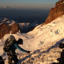
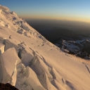
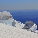
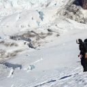
So we decided to turn around, and make our way down. We reversed order and I took the lead down the DC face and back to the Ingraham Glacier. On the way down, we passed little Tahoma again, and the giant crevasses and blocks of ice. I took this opportunity to pee in a glacier crevasses. So for the next couple thousand years, my pee will slowly move down the face of Rainer.
We made it safely back down to base camp. Amanda ate some food and then we put her to bed. During this downtime, we saw a fox running through camp and eating food out of someone else’s pack. Also, I saw a rock break away above camp and fall 200 ft to snow-ledge, causing a nice snow avalanche above the path that hikers take across the Muir Snowfield.
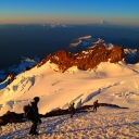
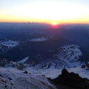
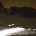
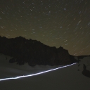
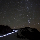
We rested that night getting ready for the hike down tomorrow morning. I woke up at midnight to photograph the next group of hikers that would try for the summit the next day. From their light trail, you can see the first path up to the Ingraham glacier.
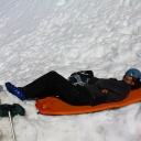
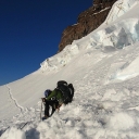
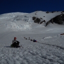
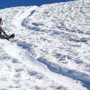
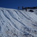
Heading down, we glaciaded, skipped, jumped, slid, and frolicked down the snowfield to the car. If felt good to make it back to the car, but sad we didn’t make it to the top. But I know we made the smart call and it was an amazing hike either way.
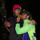
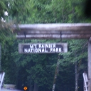
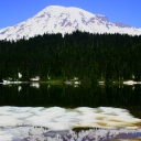
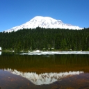
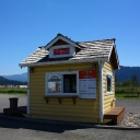
We spent the rest of the day driving back through the national park taking pictures and with our final stop at a nice local coffee shack. The coffee ladies were extremely nice and made the best cappuccino. They also gave us a bunch of free chocolate covered espresso beans. Here we called our parents and let them know we were still alive.
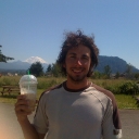
* Lots of photo credit goes out to Ben, Amanda, and Bruce. Awesome job capturing all the angles of the trip.

Nevko,
I am glad you guys had a great time hicking,climbing and caroussing around town. What an awsome trip! A harty thank you for recognizing Amanda’s symptoms and nursing her back down the slope. :{)
thanks,
Craig
ps- we didn’t need to know about the pee. lol
haha ya , we wanted to keep Amanda around for other adventures. and i felt i needed to explain the epic-ness of that pee. 🙂
hey nevko. amazing amazing pictures – once again.
would you be down to give this trip another go? or are you planning to try on another instead? either way i really really want to be a part of the next one!